Transport Functions
Rail
Road
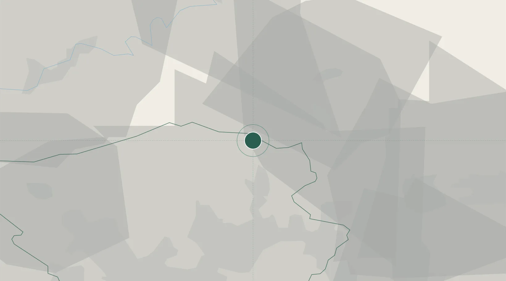
Hub Profile
Place type
Local administrative seat
Region
Saarland
Population
10,687
Time zone
Europe/Berlin
Elevation
351 m
Location
Nearby Logistics Neighbours
Cities
- 1Brücken7 km
- 2Freisen8 km
- 3Oberthal8 km
- 4Sankt Wendel13 km
- 5Züsch13 km
Airports
- 1Ramstein Air Base36 km
- 2Saarbrücken Airport41 km
- 3Frankfurt-Hahn Airport41 km
- 4Spangdahlem Air Base54 km
- 5Büchel Air Base66 km
Trade Zones
- 1ZFU La Cité Behren-lès-Forbach49 km
- 2Luxembourg Free Port67 km
- 3ZFU Woippy-Metz87 km
- 4ZFU Metz89 km
- 5ZFU Hautepierre117 km
DatabookThe Record of Consolidated Knowledge
Germany beyond logistics?