Transport Functions
Multimodal
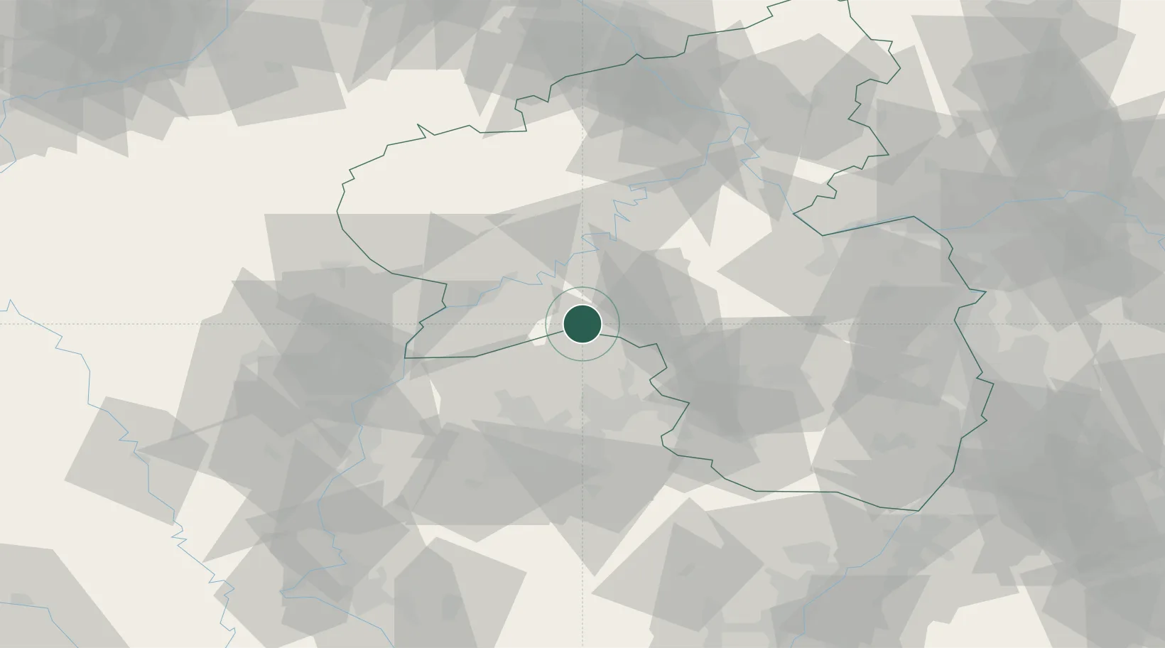
Hub Profile
Place type
Local administrative seat
Region
Rheinland-Pfalz
Population
681
Time zone
Europe/Berlin
Elevation
570 m
Location
Nearby Logistics Neighbours
Airports
- 1Frankfurt-Hahn Airport38 km
- 2Spangdahlem Air Base42 km
- 3Saarbrücken Airport49 km
- 4Ramstein Air Base49 km
- 5Luxembourg-Findel International Airport57 km
Trade Zones
- 1ZFU La Cité Behren-lès-Forbach54 km
- 2Luxembourg Free Port56 km
- 3ZFU Woippy-Metz83 km
- 4ZFU Metz86 km
- 5ZFU Maxéville, Laxou, et de Nancy121 km
DatabookThe Record of Consolidated Knowledge
Germany beyond logistics?