Transport Functions
Multimodal
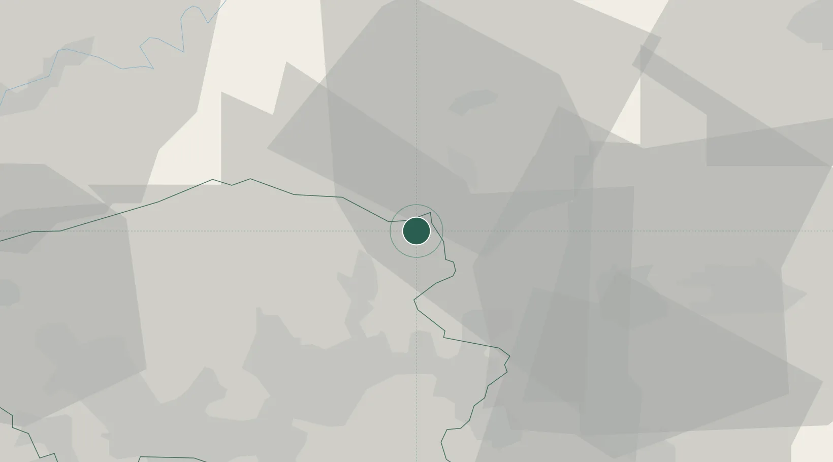
Hub Profile
Place type
Local administrative seat
Region
Saarland
Population
8,778
Time zone
Europe/Berlin
Elevation
460 m
Location
Nearby Logistics Neighbours
Cities
- 1Nohfelden8 km
- 2Sankt Wendel11 km
- 3Oberthal11 km
- 4Altenkirchen12 km
- 5Brücken14 km
Airports
- 1Ramstein Air Base28 km
- 2Saarbrücken Airport39 km
- 3Frankfurt-Hahn Airport44 km
- 4Spangdahlem Air Base62 km
- 5Büchel Air Base71 km
Trade Zones
- 1ZFU La Cité Behren-lès-Forbach49 km
- 2Luxembourg Free Port75 km
- 3ZFU Woippy-Metz91 km
- 4ZFU Metz93 km
- 5ZFU Hautepierre111 km
DatabookThe Record of Consolidated Knowledge
Germany beyond logistics?