Transport Functions
Multimodal
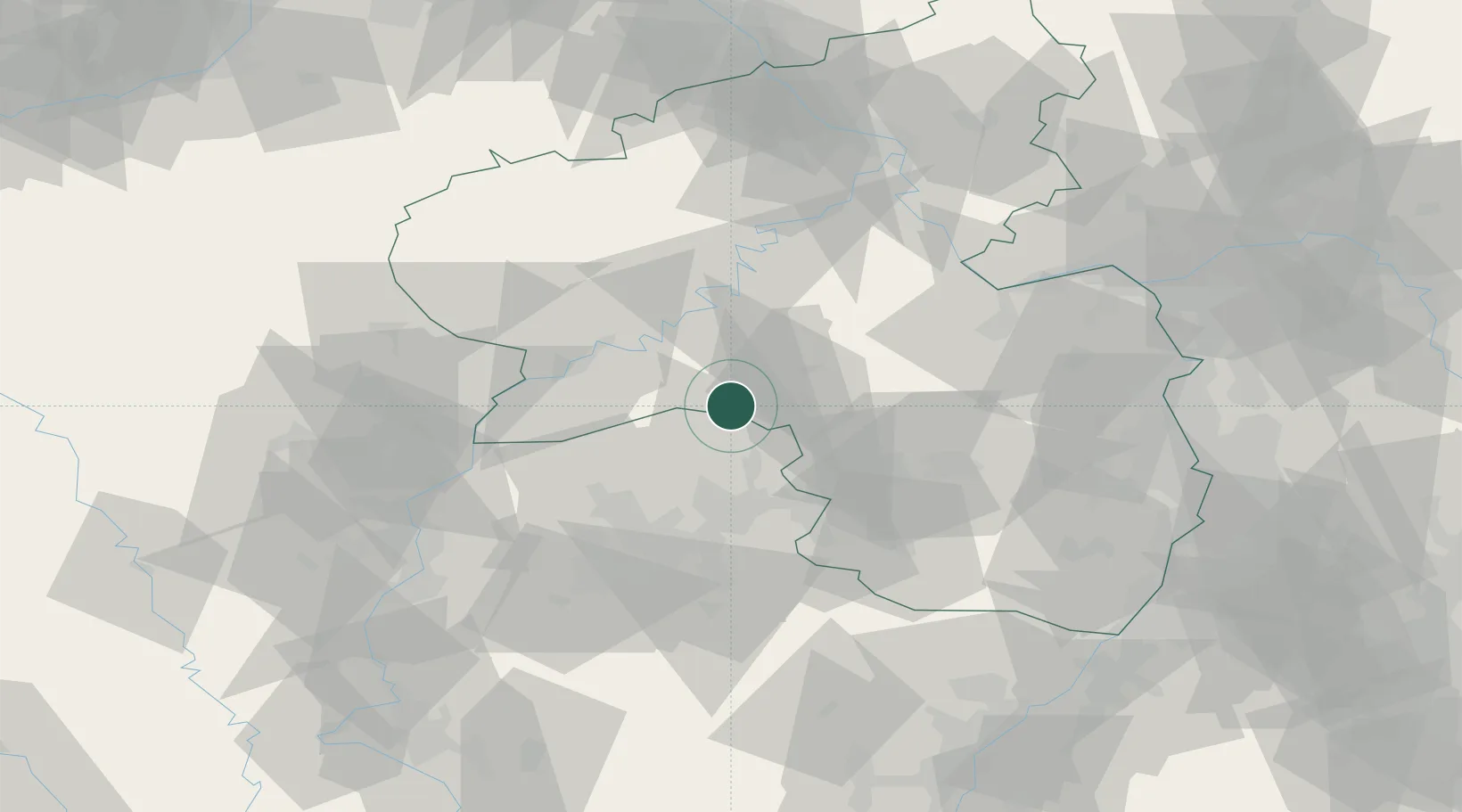
Hub Profile
Place type
Local administrative seat
Region
Rheinland-Pfalz
Population
1,283
Time zone
Europe/Berlin
Elevation
391 m
Location
Nearby Logistics Neighbours
Airports
- 1Frankfurt-Hahn Airport37 km
- 2Ramstein Air Base42 km
- 3Saarbrücken Airport47 km
- 4Spangdahlem Air Base48 km
- 5Büchel Air Base60 km
Trade Zones
- 1ZFU La Cité Behren-lès-Forbach53 km
- 2Luxembourg Free Port63 km
- 3ZFU Woippy-Metz87 km
- 4ZFU Metz90 km
- 5ZFU Hautepierre123 km
DatabookThe Record of Consolidated Knowledge
Germany beyond logistics?