Transport Functions
Multimodal
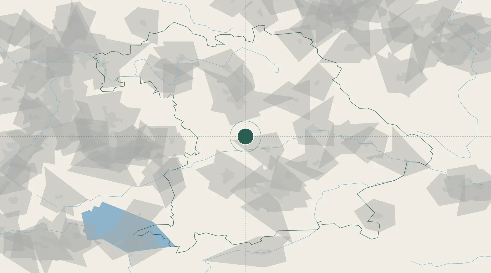
Hub Profile
Place type
Populated place
Region
Bavaria
Time zone
Europe/Berlin
Elevation
541 m
Location
Nearby Logistics Neighbours
Cities
- 1Petersbuch6 km
- 2Eichstätt6 km
- 3Mörnsheim12 km
- 4Weissenburg17 km
- 5Kipfenberg17 km
Ports
- 1Nogaro384 km
- 2Monfalcone394 km
- 3Grado395 km
- 4Porto Di Lido-Venezia403 km
- 5Trieste414 km
Airports
- 1Neuburg Air Base25 km
- 2Ingolstadt Manching Airport37 km
- 3Augsburg Airport59 km
- 4Hohenfels Army Airfield59 km
- 5Nuremberg Airport63 km
Trade Zones
- 1Freeport of Deggendorf129 km
- 2Podbořany Industrial Zone217 km
- 3Žatec - Triangle Strategic Industrial Zone236 km
- 4Most - Joseph Industrial Zone249 km
- 5ZFU Neuhof252 km
DatabookThe Record of Consolidated Knowledge
Germany beyond logistics?