Transport Functions
Multimodal
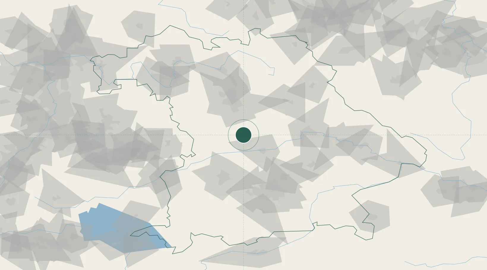
Hub Profile
Place type
Populated place
Region
Bavaria
Time zone
Europe/Berlin
Elevation
545 m
Location
Nearby Logistics Neighbours
Cities
- 1Workerszell6 km
- 2Eichstätt11 km
- 3Kipfenberg15 km
- 4Höttingen15 km
- 5Weissenburg16 km
Ports
- 1Nogaro388 km
- 2Monfalcone398 km
- 3Grado399 km
- 4Porto Di Lido-Venezia408 km
- 5Trieste418 km
Airports
- 1Neuburg Air Base30 km
- 2Ingolstadt Manching Airport39 km
- 3Hohenfels Army Airfield54 km
- 4Nuremberg Airport58 km
- 5Augsburg Airport65 km
Trade Zones
- 1Freeport of Deggendorf127 km
- 2Podbořany Industrial Zone212 km
- 3Žatec - Triangle Strategic Industrial Zone230 km
- 4Most - Joseph Industrial Zone243 km
- 5ZFU Neuhof255 km
DatabookThe Record of Consolidated Knowledge
Germany beyond logistics?