Transport Functions
Port
Rail
Road
Hub Profile
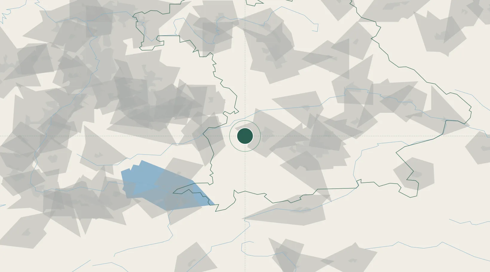
Place type
Populated place
Region
Bavaria
Population
6,742
Time zone
Europe/Berlin
Elevation
465 m
Location
Nearby Logistics Neighbours
Cities
- 1Ziemetshausen7 km
- 2Fischach9 km
- 3Horgau9 km
- 4Burtenbach10 km
- 5Langenneufnach11 km
Ports
- 1Nogaro348 km
- 2Porto Di Lido-Venezia355 km
- 3Grado360 km
- 4Monfalcone363 km
- 5Porto Di Chioggia370 km
Airports
- 1Augsburg Airport27 km
- 2Lechfeld Air Base28 km
- 3Memmingen Allgau Airport48 km
- 4Laupheim Air Base52 km
- 5Altstetten Ultralight Field52 km
Trade Zones
- 1Freeport of Deggendorf179 km
- 2Livigno Free Trade Zone205 km
- 3ZFU Neuhof209 km
- 4ZFU Hautepierre215 km
- 5ZFU Mulhouse250 km
DatabookThe Record of Consolidated Knowledge
Germany beyond logistics?