Transport Functions
Rail
Road
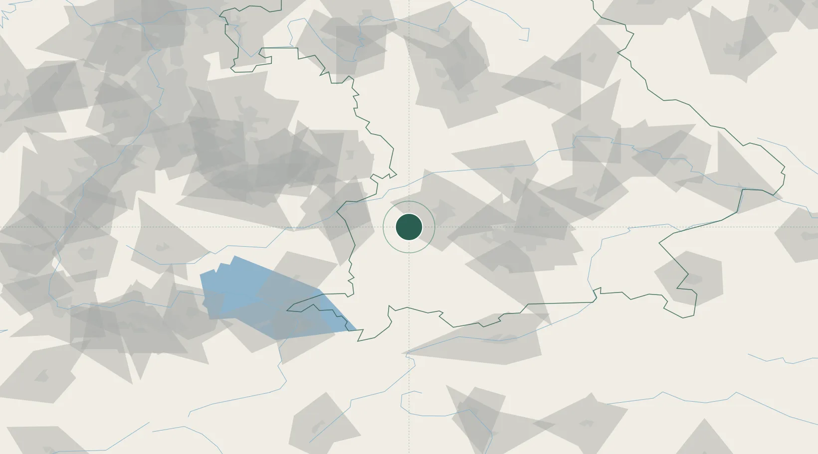
Hub Profile
Place type
Local administrative seat
Region
Bavaria
Population
1,751
Time zone
Europe/Berlin
Elevation
540 m
Location
Nearby Logistics Neighbours
Cities
- 1Walkertshofen2 km
- 2Fischach5 km
- 3Reichertshofen6 km
- 4Ziemetshausen7 km
- 5Balzhausen8 km
Ports
- 1Nogaro339 km
- 2Porto Di Lido-Venezia345 km
- 3Grado350 km
- 4Monfalcone354 km
- 5Porto Di Chioggia360 km
Airports
- 1Lechfeld Air Base21 km
- 2Augsburg Airport31 km
- 3Memmingen Allgau Airport40 km
- 4Altstetten Ultralight Field51 km
- 5Laupheim Air Base51 km
Trade Zones
- 1Freeport of Deggendorf182 km
- 2Livigno Free Trade Zone195 km
- 3ZFU Neuhof212 km
- 4ZFU Hautepierre218 km
- 5ZFU Mulhouse249 km
DatabookThe Record of Consolidated Knowledge
Germany beyond logistics?