Transport Functions
Rail
Road
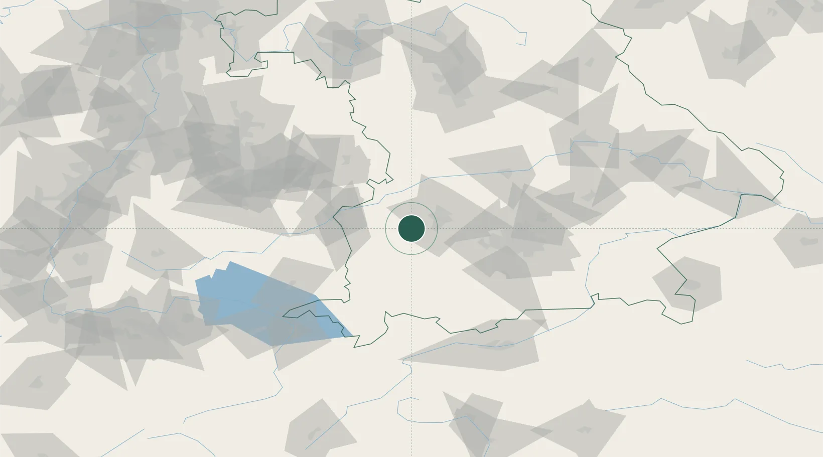
Hub Profile
Place type
Populated place
Region
Bavaria
Population
4,733
Time zone
Europe/Berlin
Elevation
497 m
Location
Nearby Logistics Neighbours
Cities
- 1Langenneufnach5 km
- 2Walkertshofen7 km
- 3Ziemetshausen9 km
- 4Dinkelscherben9 km
- 5Reichertshofen10 km
Ports
- 1Nogaro339 km
- 2Porto Di Lido-Venezia346 km
- 3Grado351 km
- 4Monfalcone354 km
- 5Porto Di Chioggia362 km
Airports
- 1Lechfeld Air Base19 km
- 2Augsburg Airport26 km
- 3Memmingen Allgau Airport45 km
- 4Altstetten Ultralight Field47 km
- 5Oberpfaffenhofen Airport52 km
Trade Zones
- 1Freeport of Deggendorf177 km
- 2Livigno Free Trade Zone199 km
- 3ZFU Neuhof215 km
- 4ZFU Hautepierre221 km
- 5ZFU Mulhouse254 km
DatabookThe Record of Consolidated Knowledge
Germany beyond logistics?