Transport Functions
Multimodal
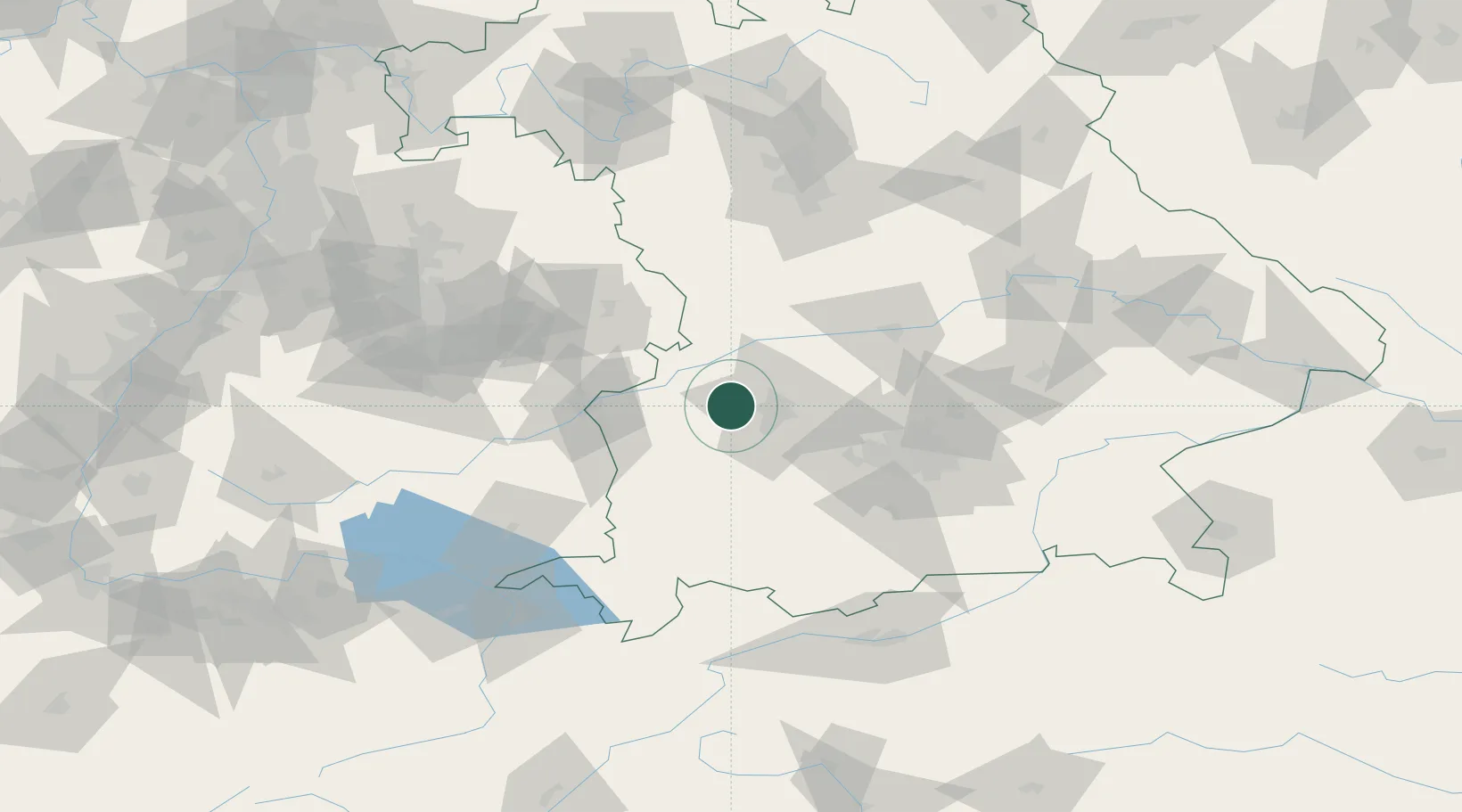
Hub Profile
Place type
Local administrative seat
Region
Bavaria
Population
2,459
Time zone
Europe/Berlin
Elevation
466 m
Location
Nearby Logistics Neighbours
Cities
- 1Adelsried3 km
- 2Welden6 km
- 3Heretsried8 km
- 4Diedorf8 km
- 5Dinkelscherben9 km
Ports
- 1Nogaro349 km
- 2Porto Di Lido-Venezia357 km
- 3Grado360 km
- 4Monfalcone363 km
- 5Porto Di Chioggia373 km
Airports
- 1Augsburg Airport19 km
- 2Lechfeld Air Base27 km
- 3Altstetten Ultralight Field46 km
- 4Neuburg Air Base52 km
- 5Memmingen Allgau Airport56 km
Trade Zones
- 1Freeport of Deggendorf171 km
- 2Livigno Free Trade Zone212 km
- 3ZFU Neuhof216 km
- 4ZFU Hautepierre221 km
- 5ZFU Mulhouse259 km
DatabookThe Record of Consolidated Knowledge
Germany beyond logistics?