Transport Functions
Multimodal
Hub Profile
Place type
Local administrative seat
Region
Bavaria
Population
3,049
Time zone
Europe/Berlin
Elevation
482 m
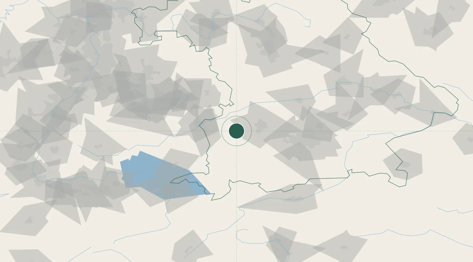
Location
Nearby Logistics Neighbours
Cities
- 1Thannhausen5 km
- 2Dinkelscherben7 km
- 3Langenneufnach7 km
- 4Balzhausen8 km
- 5Walkertshofen8 km
Ports
- 1Nogaro346 km
- 2Porto Di Lido-Venezia352 km
- 3Grado357 km
- 4Monfalcone361 km
- 5Porto Di Chioggia367 km
Airports
- 1Lechfeld Air Base27 km
- 2Augsburg Airport33 km
- 3Memmingen Allgau Airport41 km
- 4Laupheim Air Base47 km
- 5Altstetten Ultralight Field56 km
Trade Zones
- 1Freeport of Deggendorf185 km
- 2Livigno Free Trade Zone199 km
- 3ZFU Neuhof206 km
- 4ZFU Hautepierre212 km
- 5ZFU Mulhouse246 km
DatabookThe Record of Consolidated Knowledge
Germany beyond logistics?