Transport Functions
Rail
Road
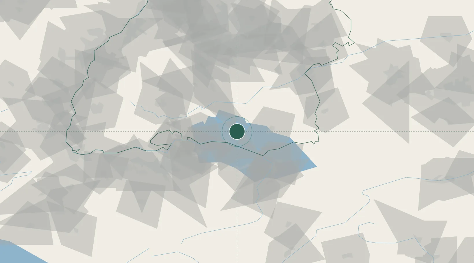
Hub Profile
Place type
Local administrative seat
Region
Baden-Wurttemberg
Population
11,164
Time zone
Europe/Berlin
Elevation
440 m
Location
Nearby Logistics Neighbours
Cities
- 1Frickingen2 km
- 2Heiligenberg5 km
- 3Bermatingen7 km
- 4Nussdorf7 km
- 5Deggenhausertal9 km
Ports
- 1Porto Di Lido-Venezia357 km
- 2Porto Di Chioggia366 km
- 3Nogaro372 km
- 4Genova378 km
- 5Grado384 km
Airports
Trade Zones
- 1ZFU Neuhof141 km
- 2ZFU Mulhouse146 km
- 3ZFU Hautepierre149 km
- 4Livigno Free Trade Zone152 km
- 5ZFU Belfort186 km
DatabookThe Record of Consolidated Knowledge
Germany beyond logistics?