Transport Functions
Multimodal
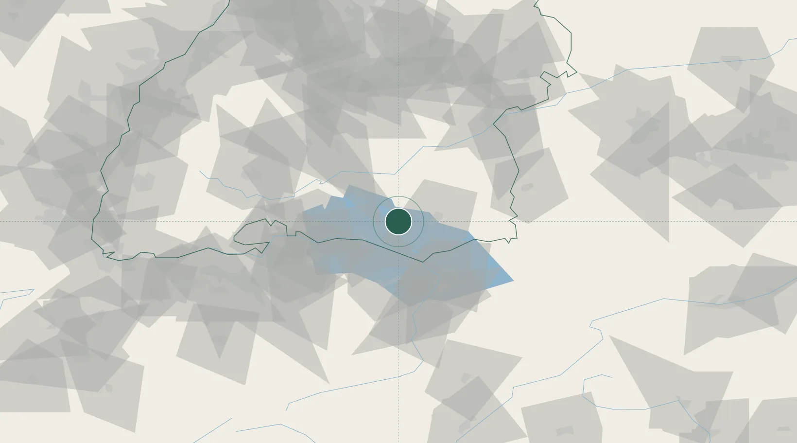
Hub Profile
Region
BW
Location
Nearby Logistics Neighbours
Cities
- 1Heiligenberg7 km
- 2Bermatingen8 km
- 3Salem9 km
- 4Frickingen10 km
- 5Appenweiler11 km
Ports
- 1Porto Di Lido-Venezia351 km
- 2Porto Di Chioggia360 km
- 3Nogaro365 km
- 4Grado377 km
- 5Genova378 km
Airports
Trade Zones
- 1ZFU Neuhof148 km
- 2Livigno Free Trade Zone149 km
- 3ZFU Mulhouse154 km
- 4ZFU Hautepierre155 km
- 5ZFU Belfort195 km
DatabookThe Record of Consolidated Knowledge
Germany beyond logistics?