Transport Functions
Multimodal
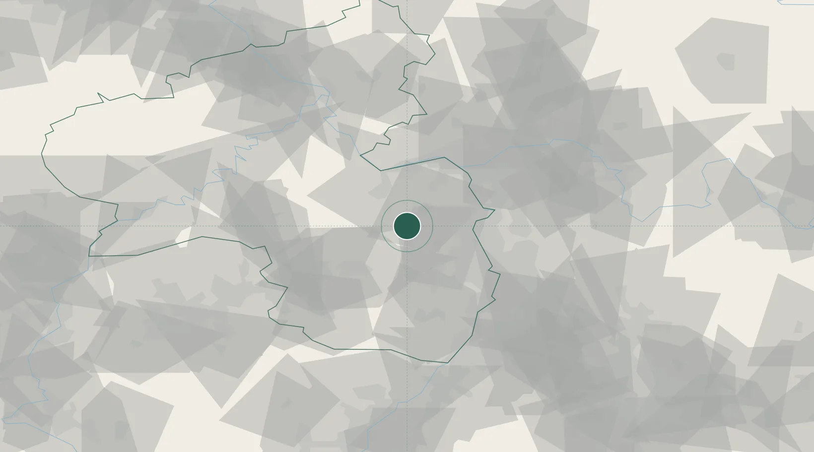
Hub Profile
Place type
Local administrative seat
Region
Rheinland-Pfalz
Population
756
Time zone
Europe/Berlin
Elevation
308 m
Location
Nearby Logistics Neighbours
Cities
- 1Orbis2 km
- 2Kettenheim7 km
- 3Dannenfels7 km
- 4Zellertal10 km
- 5Heimersheim10 km
Airports
- 1Mainz-Finthen Airfield33 km
- 2Ramstein Air Base41 km
- 3Mannheim-City Airport43 km
- 4Wiesbaden Army Airfield46 km
- 5Frankfurt-Egelsbach Airport55 km
Trade Zones
- 1ZFU La Cité Behren-lès-Forbach98 km
- 2ZFU Hautepierre123 km
- 3ZFU Neuhof128 km
- 4Luxembourg Free Port129 km
- 5ZFU Woippy-Metz148 km
DatabookThe Record of Consolidated Knowledge
Germany beyond logistics?