UN/LOCODE hub · Germany
DERS2
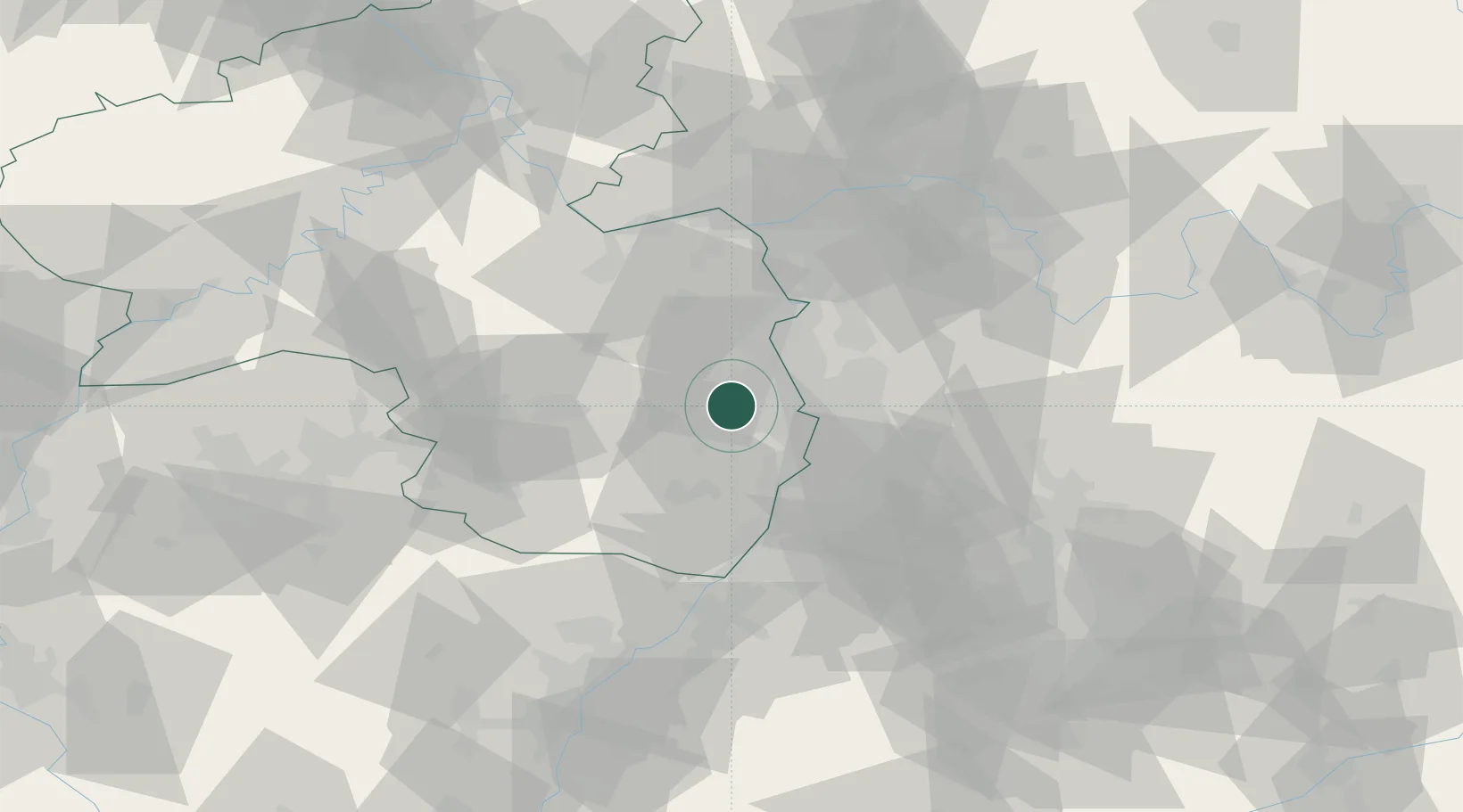
Rodersheim-Gronau
49.4667°, 8.2500°
2,903
Population
1
Transport functions
Transport Functions
Multimodal
Hub Profile
Place type
Local administrative seat
Region
Rheinland-Pfalz
Population
2,903
Time zone
Europe/Berlin
Elevation
107 m
Location
Nearby Logistics Neighbours
Cities
- 1Ellerstadt2 km
- 2Fussgönheim3 km
- 3Rödersheim4 km
- 4Lambsheim4 km
- 5Friedelsheim4 km
Airports
- 1Mannheim-City Airport19 km
- 2Ramstein Air Base47 km
- 3Mainz-Finthen Airfield56 km
- 4Frankfurt-Egelsbach Airport62 km
- 5Wiesbaden Army Airfield65 km
Trade Zones
- 1ZFU La Cité Behren-lès-Forbach102 km
- 2ZFU Hautepierre105 km
- 3ZFU Neuhof109 km
- 4Luxembourg Free Port148 km
- 5ZFU Woippy-Metz156 km
DatabookThe Record of Consolidated Knowledge
Germany beyond logistics?