Transport Functions
Multimodal
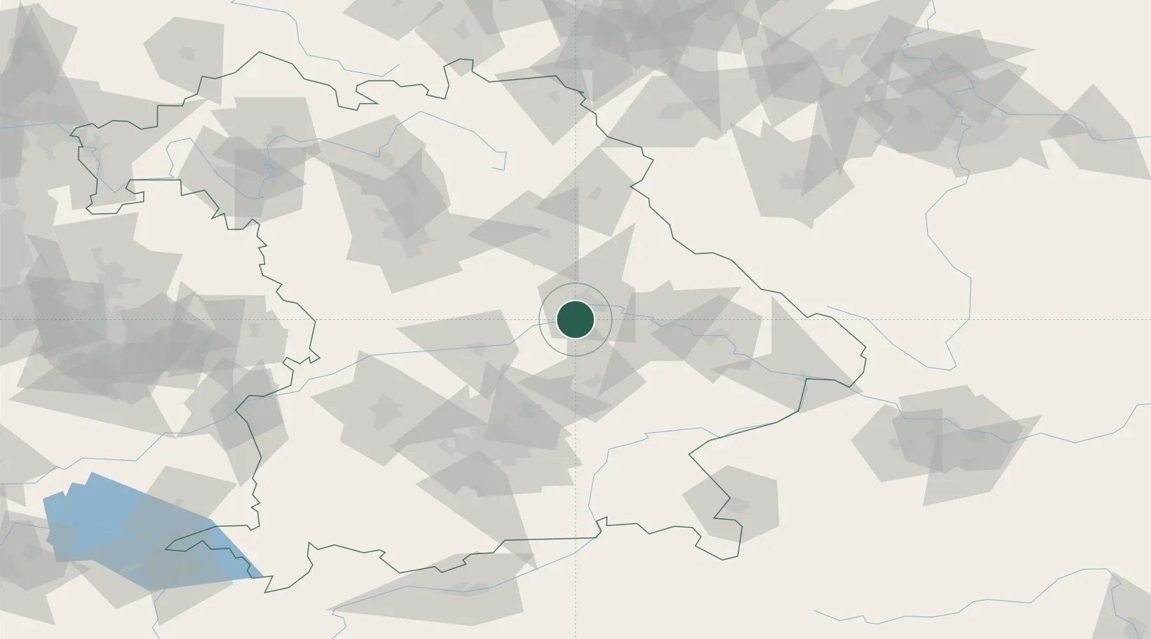
Hub Profile
Place type
Populated place
Region
Bavaria
Population
12,428
Time zone
Europe/Berlin
Elevation
355 m
Location
Nearby Logistics Neighbours
Cities
- 1Pentling6 km
- 2Rendsburg10 km
- 3Regensburg11 km
- 4Hagelstadt13 km
- 5Barbing13 km
Ports
- 1Nogaro363 km
- 2Monfalcone368 km
- 3Grado372 km
- 4Trieste387 km
- 5Porto Di Lido-Venezia392 km
Airports
- 1Hohenfels Army Airfield35 km
- 2Ingolstadt Manching Airport45 km
- 3Landshut Airfield47 km
- 4Neuburg Air Base66 km
- 5Munich Airport67 km
Trade Zones
DatabookThe Record of Consolidated Knowledge
Germany beyond logistics?