UN/LOCODE hub · Germany
DEGBX

Barbing

49.0000°, 12.2000°
4,776
Population
2
Transport functions

Transport Functions

Port
Multimodal
UN/LOCODE

Hub Profile

Place type
Local administrative seat
GeoNames
Region
Bavaria
GeoNames
Population
4,776
GeoNames
Time zone
Europe/Berlin
GeoNames
Elevation
329 m
GeoNames

Location

Location of DEGBX
Natural Earth 10m (public domain) · Bavaria · DEGBX · 49.00, 12.20GoogleOSMYandex

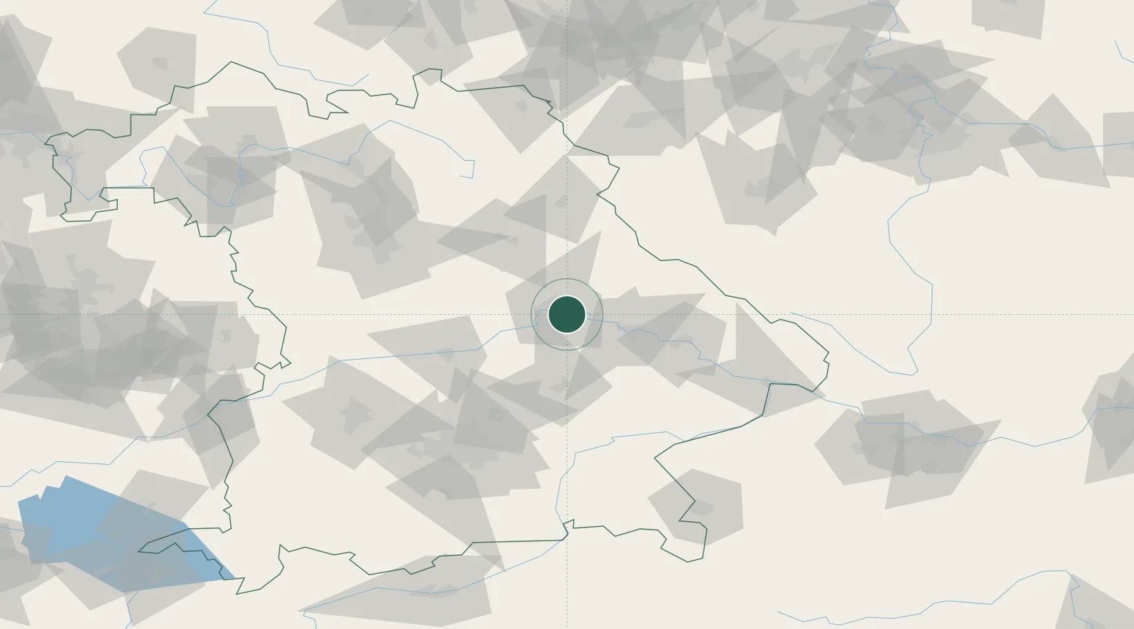
Nearby Logistics Neighbours

Cities
  1. 1Tegernheim2 km
  2. 2Rendsburg4 km
  3. 3Regensburg4 km
  4. 4Pentling10 km
  5. 5Hagelstadt11 km
Nearest neighbours — logibook spatial index (haversine) over the source coordinates
Ports
  1. 1Nogaro368 km
  2. 2Monfalcone372 km
  3. 3Grado377 km
  4. 4Trieste390 km
  5. 5Muggia396 km
Nearest neighbours — logibook spatial index (haversine) over the source coordinates
Airports
  1. 1Hohenfels Army Airfield36 km
  2. 2Landshut Airfield56 km
  3. 3Ingolstadt Manching Airport58 km
  4. 4Munich Airport78 km
  5. 5Neuburg Air Base79 km
Nearest neighbours — logibook spatial index (haversine) over the source coordinates
Trade Zones
  1. 1Freeport of Deggendorf54 km
  2. 2Podbořany Industrial Zone162 km
  3. 3Žatec - Triangle Strategic Industrial Zone182 km
  4. 4Most - Joseph Industrial Zone195 km
  5. 5Světlá nad Sázavou Municipal Industrial Zone245 km
Nearest neighbours — logibook spatial index (haversine) over the source coordinates
DatabookThe Record of Consolidated Knowledge
Germany beyond logistics?
Browse databook

All Sources

LocationsUN/LOCODE
UN/LOCODE — free
LocationsGeoNames
CC BY 4.0
Portsthe NGA World Port Index
Public domain (US gov)
AirportsOurAirports
Public domain
Trade Zonesthe World Bank SEZ database
CC BY 4.0
Trade ZonesOpen Zone Map
CC BY
← Germany locations