Transport Functions
Rail
Road
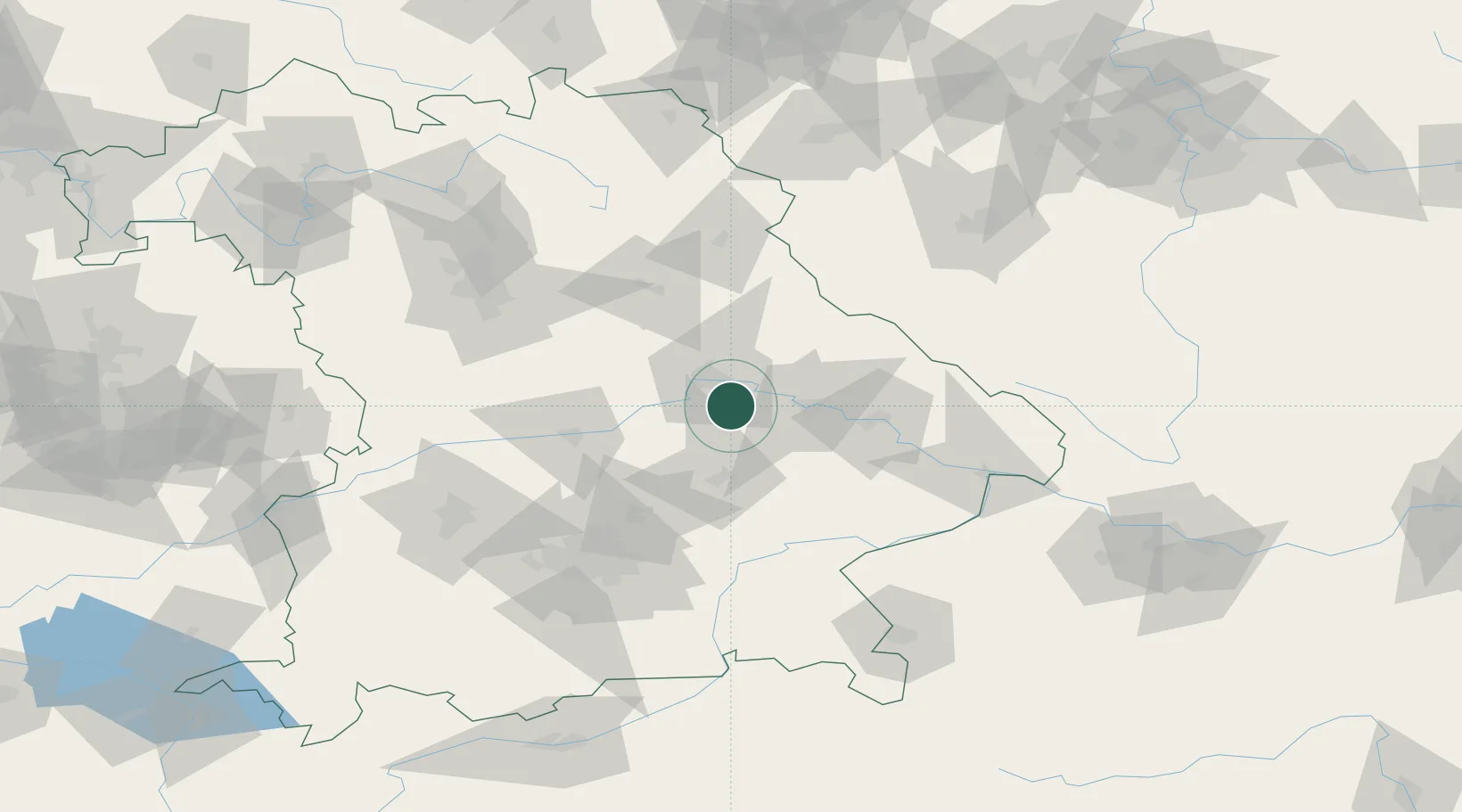
Hub Profile
Place type
Local administrative seat
Region
Bavaria
Population
1,852
Time zone
Europe/Berlin
Elevation
361 m
Location
Nearby Logistics Neighbours
Cities
- 1Pullach10 km
- 2Sünching10 km
- 3Barbing11 km
- 4Rendsburg12 km
- 5Bad Abbach13 km
Ports
- 1Nogaro357 km
- 2Monfalcone361 km
- 3Grado365 km
- 4Trieste379 km
- 5Muggia385 km
Airports
- 1Hohenfels Army Airfield45 km
- 2Landshut Airfield45 km
- 3Ingolstadt Manching Airport54 km
- 4Munich Airport69 km
- 5Neuburg Air Base77 km
Trade Zones
DatabookThe Record of Consolidated Knowledge
Germany beyond logistics?