Transport Functions
Rail
Road
Multimodal
Hub Profile
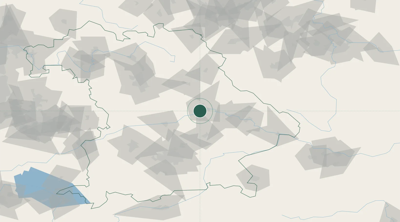
Place type
Local administrative seat
Region
Bavaria
Population
5,485
Time zone
Europe/Berlin
Elevation
410 m
Location
Nearby Logistics Neighbours
Cities
- 1Bad Abbach6 km
- 2Rendsburg6 km
- 3Regensburg6 km
- 4Pettendorf9 km
- 5Tegernheim9 km
Ports
- 1Nogaro368 km
- 2Monfalcone373 km
- 3Grado377 km
- 4Trieste392 km
- 5Muggia397 km
Airports
- 1Hohenfels Army Airfield31 km
- 2Ingolstadt Manching Airport49 km
- 3Landshut Airfield53 km
- 4Neuburg Air Base70 km
- 5Munich Airport73 km
Trade Zones
DatabookThe Record of Consolidated Knowledge
Germany beyond logistics?