Transport Functions
Port
Rail
Road
Hub Profile
Place type
Provincial seat
Region
Bavaria
Population
129,151
Time zone
Europe/Berlin
Elevation
341 m
Logistics facilities
3
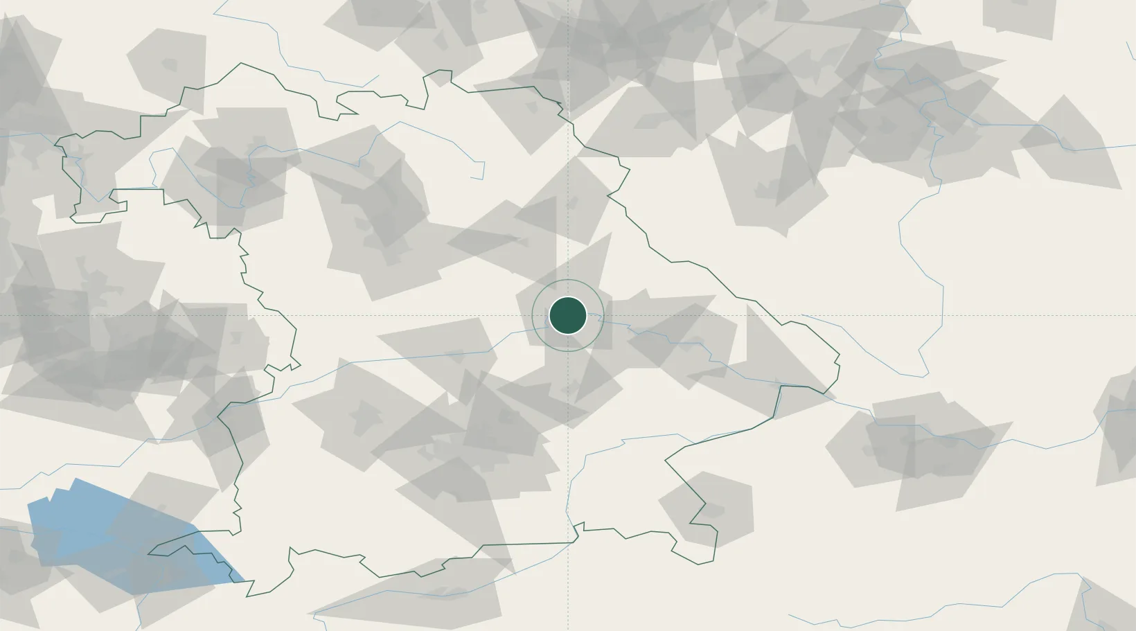
Location
Nearby Logistics Neighbours
Cities
- 1Rendsburg1 km
- 2Tegernheim3 km
- 3Barbing4 km
- 4Pentling6 km
- 5Bad Abbach11 km
Ports
- 1Nogaro369 km
- 2Monfalcone374 km
- 3Grado378 km
- 4Trieste392 km
- 5Muggia398 km
Airports
- 1Hohenfels Army Airfield32 km
- 2Ingolstadt Manching Airport55 km
- 3Landshut Airfield55 km
- 4Neuburg Air Base76 km
- 5Munich Airport77 km
Trade Zones
DatabookThe Record of Consolidated Knowledge
Germany beyond logistics?