Transport Functions
Port
Rail
Road
Hub Profile
Place type
District seat
Region
Schleswig-Holstein
Population
28,323
Time zone
Europe/Berlin
Elevation
9 m
Logistics facilities
3
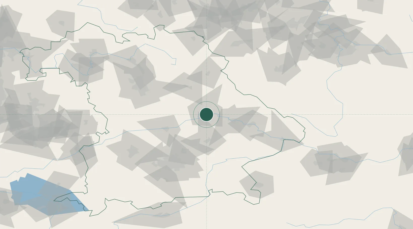
Location
Nearby Logistics Neighbours
Cities
- 1Regensburg1 km
- 2Tegernheim4 km
- 3Barbing4 km
- 4Pentling6 km
- 5Bad Abbach10 km
Ports
- 1Nogaro369 km
- 2Monfalcone373 km
- 3Grado377 km
- 4Trieste391 km
- 5Muggia397 km
Airports
- 1Hohenfels Army Airfield33 km
- 2Ingolstadt Manching Airport55 km
- 3Landshut Airfield55 km
- 4Neuburg Air Base75 km
- 5Munich Airport76 km
Trade Zones
DatabookThe Record of Consolidated Knowledge
Germany beyond logistics?