Transport Functions
Port
Rail
Road
Airport
Postal
Hub Profile
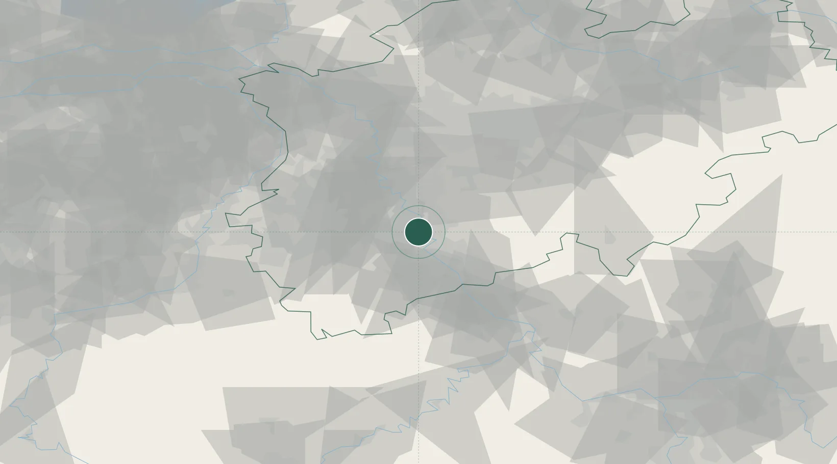
Region
NW
Logistics facilities
2
Location
Nearby Logistics Neighbours
Cities
- 1Niehl/Köln7 km
- 2Leverkusen10 km
- 3Godorf10 km
- 4Lülsdorf12 km
- 5Brühl12 km
Airports
- 1Cologne Bonn Airport16 km
- 2Nörvenich Air Base24 km
- 3Düsseldorf Airport41 km
- 4Mönchengladbach Airport45 km
- 5Geilenkirchen Air Base64 km
Trade Zones
- 1Rheinische Revier SWZ40 km
- 2Freeport of Duisburg62 km
- 3Luxembourg Free Port153 km
- 4ZFU La Cité Behren-lès-Forbach197 km
- 5ZFU Ronde Couture206 km
DatabookThe Record of Consolidated Knowledge
Germany beyond logistics?