Transport Functions
Multimodal
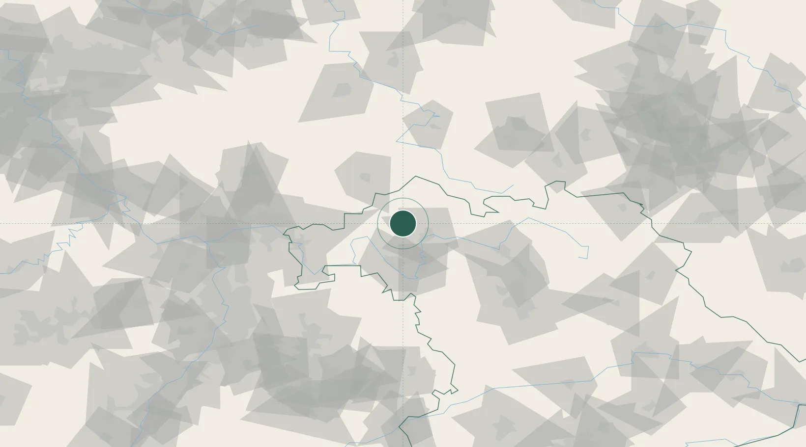
Hub Profile
Place type
Populated place
Region
Bavaria
Population
1,632
Time zone
Europe/Berlin
Elevation
199 m
Location
Nearby Logistics Neighbours
Cities
- 1Oerlenbach8 km
- 2Burkardroth13 km
- 3Oberwerrn14 km
- 4Rannungen14 km
- 5Geldersheim15 km
Airports
- 1Bamberg-Breitenau Airfield69 km
- 2Niederstetten Army Air Base84 km
- 3Eisenach-Kindel Airport99 km
- 4Frankfurt-Egelsbach Airport100 km
- 5Frankfurt Main Airport105 km
Trade Zones
- 1Podbořany Industrial Zone241 km
- 2ZFU Hautepierre241 km
- 3ZFU Neuhof242 km
- 4ZFU La Cité Behren-lès-Forbach248 km
- 5Žatec - Triangle Strategic Industrial Zone251 km
DatabookThe Record of Consolidated Knowledge
Germany beyond logistics?