Transport Functions
Road
Multimodal
Hub Profile
Place type
Local administrative seat
Region
Bavaria
Population
5,411
Time zone
Europe/Berlin
Elevation
325 m
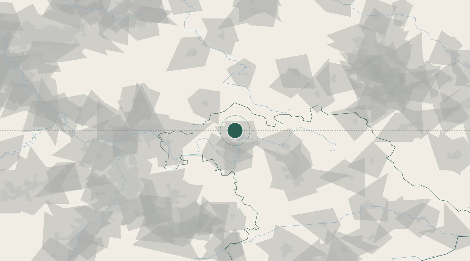
Location
Nearby Logistics Neighbours
Cities
- 1Rannungen6 km
- 2Euerdorf8 km
- 3Oberwerrn10 km
- 4Geldersheim11 km
- 5Schweinfurt14 km
Airports
- 1Bamberg-Breitenau Airfield61 km
- 2Niederstetten Army Air Base85 km
- 3Eisenach-Kindel Airport97 km
- 4Nuremberg Airport99 km
- 5Frankfurt-Egelsbach Airport109 km
Trade Zones
- 1Podbořany Industrial Zone233 km
- 2Žatec - Triangle Strategic Industrial Zone243 km
- 3Freeport of Deggendorf247 km
- 4ZFU Hautepierre247 km
- 5ZFU Neuhof248 km
DatabookThe Record of Consolidated Knowledge
Germany beyond logistics?