Transport Functions
Rail
Road
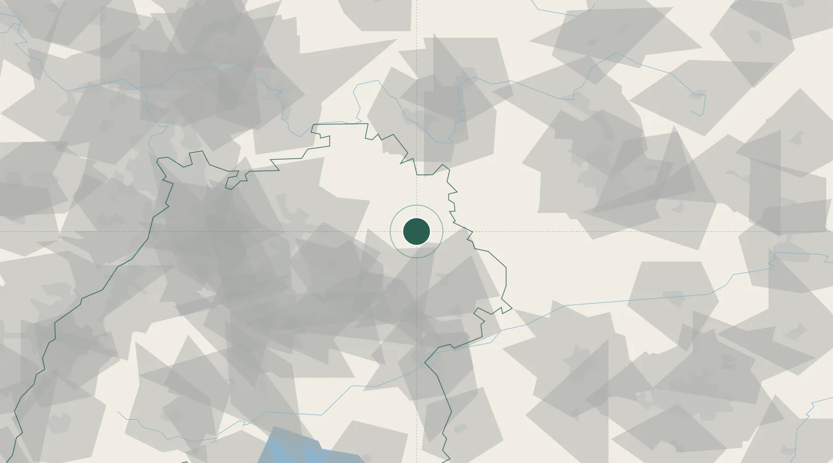
Hub Profile
Place type
Populated place
Region
Baden-Wurttemberg
Time zone
Europe/Berlin
Elevation
431 m
Location
Nearby Logistics Neighbours
Cities
- 1Ilshofen2 km
- 2Frankenhardt8 km
- 3Bühlerzimmern11 km
- 4Wallhausen12 km
- 5Schwäbisch Hall16 km
Ports
- 1Bruxelles442 km
- 2Nogaro449 km
- 3Bremen450 km
- 4Porto Di Lido-Venezia456 km
- 5Antwerpen456 km
Airports
- 1Adolf Würth Airport11 km
- 2Niederstetten Army Air Base27 km
- 3Stuttgart Airport73 km
- 4Nuremberg Airport92 km
- 5Laupheim Air Base103 km
Trade Zones
- 1ZFU Neuhof173 km
- 2ZFU Hautepierre175 km
- 3ZFU La Cité Behren-lès-Forbach219 km
- 4ZFU Mulhouse247 km
- 5Luxembourg Free Port274 km
DatabookThe Record of Consolidated Knowledge
Germany beyond logistics?