Transport Functions
Multimodal
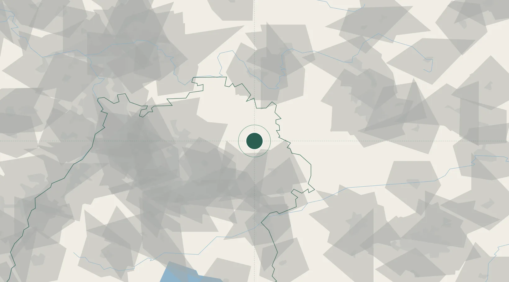
Hub Profile
Place type
Populated place
Region
Baden-Wurttemberg
Population
6,058
Time zone
Europe/Berlin
Elevation
443 m
Location
Nearby Logistics Neighbours
Cities
- 1Eckartshausen2 km
- 2Bühlerzimmern10 km
- 3Frankenhardt11 km
- 4Wallhausen12 km
- 5Schwäbisch Hall15 km
Airports
- 1Adolf Würth Airport11 km
- 2Niederstetten Army Air Base25 km
- 3Stuttgart Airport73 km
- 4Nuremberg Airport92 km
- 5Laupheim Air Base105 km
Trade Zones
- 1ZFU Neuhof172 km
- 2ZFU Hautepierre175 km
- 3ZFU La Cité Behren-lès-Forbach217 km
- 4ZFU Mulhouse247 km
- 5Luxembourg Free Port272 km
DatabookThe Record of Consolidated Knowledge
Germany beyond logistics?