Transport Functions
Rail
Road
Hub Profile
Place type
Populated place
Region
North Rhine-Westphalia
Population
37,814
Time zone
Europe/Berlin
Elevation
116 m
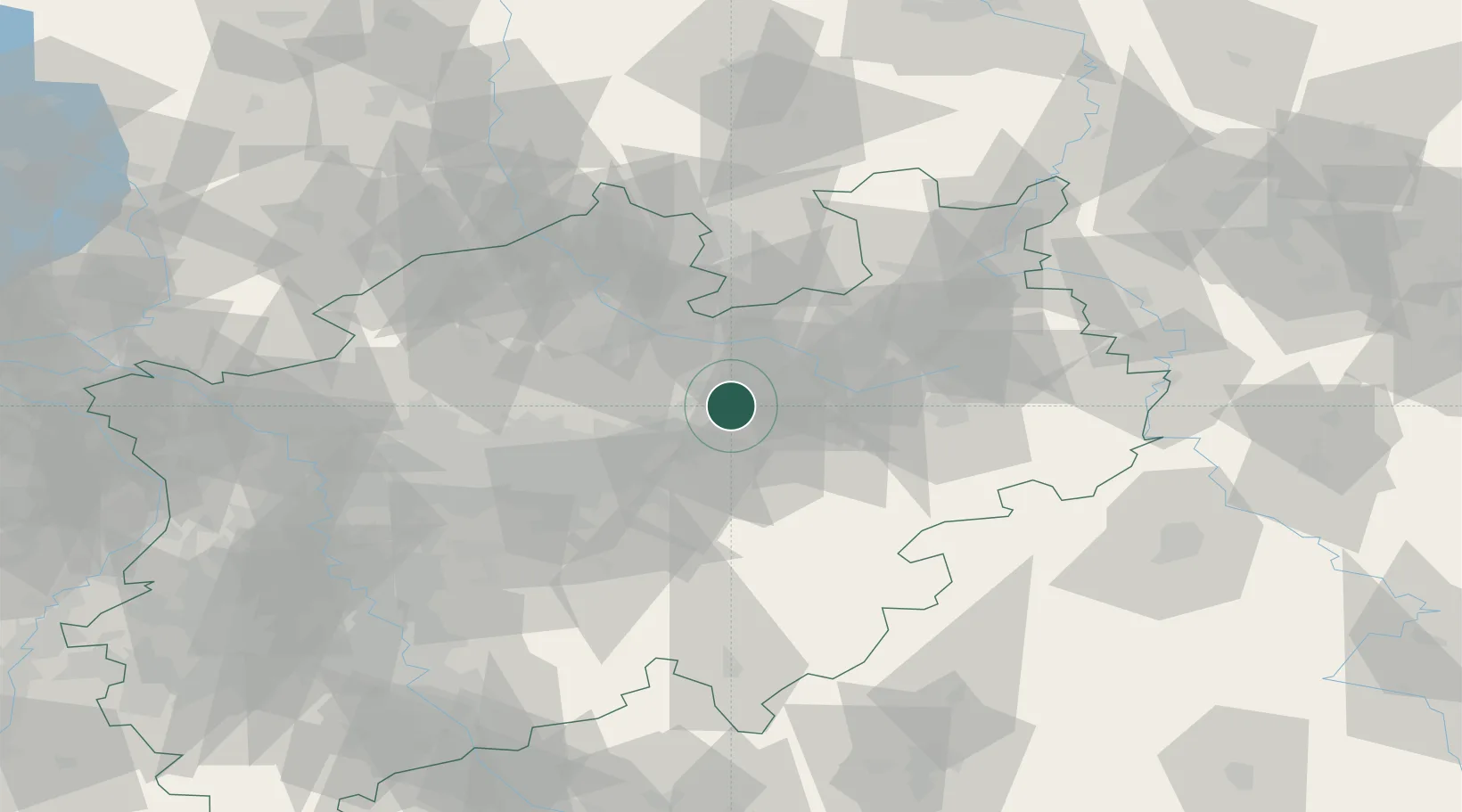
Location
Nearby Logistics Neighbours
Airports
- 1Dortmund Airport39 km
- 2Bielefeld Airport43 km
- 3Paderborn Lippstadt Airport43 km
- 4Münster Osnabrück Airport49 km
- 5Bückeburg Air Base93 km
Trade Zones
DatabookThe Record of Consolidated Knowledge
Germany beyond logistics?