Transport Functions
Rail
Road
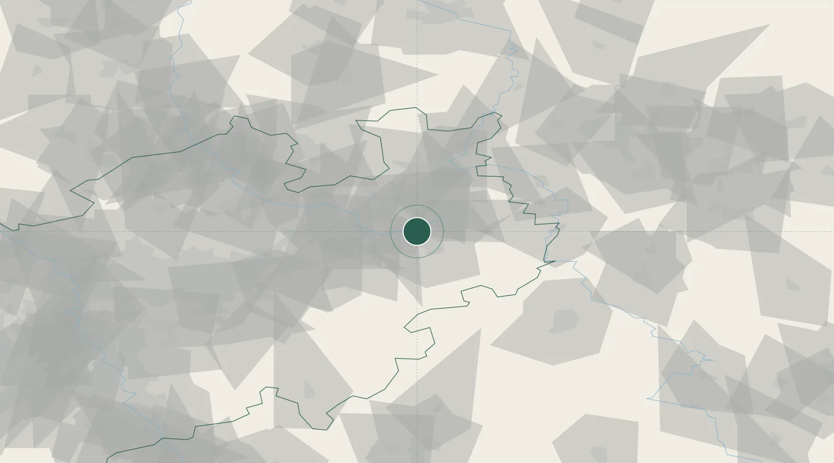
Hub Profile
Place type
Local administrative seat
Region
North Rhine-Westphalia
Population
15,962
Time zone
Europe/Berlin
Elevation
101 m
Location
Nearby Logistics Neighbours
Cities
- 1Sennelager9 km
- 2Oerlinghausen17 km
- 3Brackwede21 km
- 4Bielefeld21 km
- 5Altenbeken21 km
Airports
- 1Bielefeld Airport18 km
- 2Paderborn Lippstadt Airport23 km
- 3Bückeburg Air Base59 km
- 4Kassel Airport68 km
- 5Münster Osnabrück Airport75 km
Trade Zones
DatabookThe Record of Consolidated Knowledge
Germany beyond logistics?