Transport Functions
Rail
Road
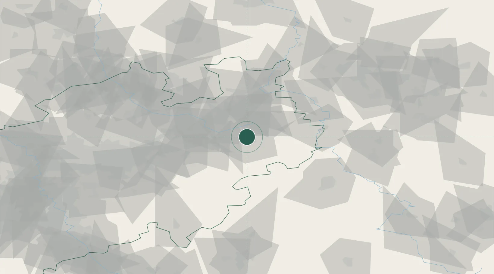
Hub Profile
Place type
Populated place
Region
North Rhine-Westphalia
Time zone
Europe/Berlin
Elevation
111 m
Location
Nearby Logistics Neighbours
Cities
- 1Hövelhof9 km
- 2Altenbeken16 km
- 3Oerlinghausen24 km
- 4Büren25 km
- 5Bielefeld29 km
Airports
- 1Paderborn Lippstadt Airport17 km
- 2Bielefeld Airport27 km
- 3Kassel Airport60 km
- 4Bückeburg Air Base64 km
- 5Dortmund Airport81 km
Trade Zones
DatabookThe Record of Consolidated Knowledge
Germany beyond logistics?