Transport Functions
Road
Multimodal
Hub Profile
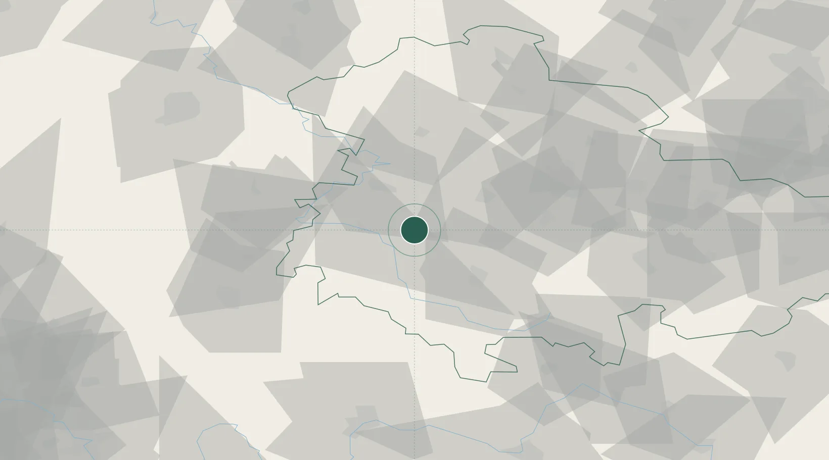
Place type
Populated place
Region
Thuringia
Population
3,052
Time zone
Europe/Berlin
Elevation
564 m
Location
Nearby Logistics Neighbours
Cities
- 1Floh-Seligenthal8 km
- 2Breitungen9 km
- 3Friedrichroda11 km
- 4Barchfeld11 km
- 5Schmalkalden11 km
Airports
- 1Eisenach-Kindel Airport20 km
- 2Erfurt-Weimar Airport41 km
- 3Fritzlar Army Airfield87 km
- 4Kassel Airport99 km
- 5Bamberg-Breitenau Airfield105 km
Trade Zones
DatabookThe Record of Consolidated Knowledge
Germany beyond logistics?