Transport Functions
Rail
Road
Hub Profile
Place type
Local administrative seat
Region
Thuringia
Time zone
Europe/Berlin
Elevation
250 m
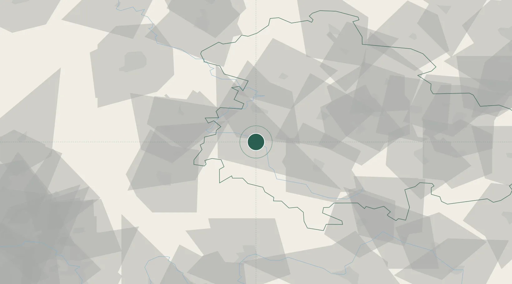
Location
Nearby Logistics Neighbours
Cities
- 1Breitungen4 km
- 2Wernshausen9 km
- 3Niederschmalkalden10 km
- 4Tiefenort10 km
- 5Brotterode11 km
Airports
- 1Eisenach-Kindel Airport27 km
- 2Erfurt-Weimar Airport52 km
- 3Fritzlar Army Airfield79 km
- 4Kassel Airport94 km
- 5Bamberg-Breitenau Airfield106 km
Trade Zones
- 1Podbořany Industrial Zone229 km
- 2Žatec - Triangle Strategic Industrial Zone233 km
- 3Most - Joseph Industrial Zone239 km
- 4Freeport of Duisburg268 km
- 5Rheinische Revier SWZ274 km
DatabookThe Record of Consolidated Knowledge
Germany beyond logistics?