Transport Functions
Rail
Road
Hub Profile
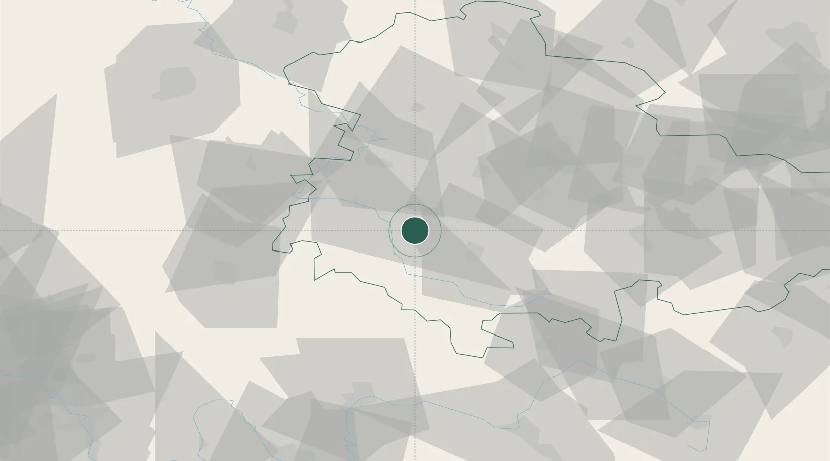
Place type
Populated place
Region
Thuringia
Population
19,553
Time zone
Europe/Berlin
Elevation
291 m
Location
Nearby Logistics Neighbours
Cities
- 1Floh-Seligenthal4 km
- 2Niederschmalkalden6 km
- 3Wernshausen7 km
- 4Schwallungen8 km
- 5Wasungen8 km
Airports
- 1Eisenach-Kindel Airport31 km
- 2Erfurt-Weimar Airport46 km
- 3Fritzlar Army Airfield93 km
- 4Bamberg-Breitenau Airfield95 km
- 5Kassel Airport108 km
Trade Zones
- 1Podbořany Industrial Zone216 km
- 2Žatec - Triangle Strategic Industrial Zone220 km
- 3Most - Joseph Industrial Zone227 km
- 4Freeport of Deggendorf272 km
- 5Freeport of Duisburg282 km
DatabookThe Record of Consolidated Knowledge
Germany beyond logistics?