Transport Functions
Rail
Road
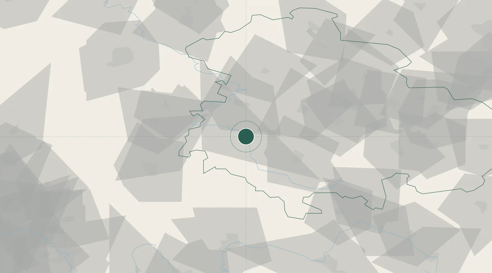
Hub Profile
Place type
Populated place
Region
Thuringia
Population
5,281
Time zone
Europe/Berlin
Elevation
252 m
Location
Nearby Logistics Neighbours
Cities
- 1Barchfeld4 km
- 2Wernshausen6 km
- 3Niederschmalkalden6 km
- 4Brotterode9 km
- 5Schwallungen9 km
Airports
- 1Eisenach-Kindel Airport27 km
- 2Erfurt-Weimar Airport50 km
- 3Fritzlar Army Airfield83 km
- 4Kassel Airport98 km
- 5Bamberg-Breitenau Airfield103 km
Trade Zones
- 1Podbořany Industrial Zone225 km
- 2Žatec - Triangle Strategic Industrial Zone229 km
- 3Most - Joseph Industrial Zone236 km
- 4Freeport of Duisburg272 km
- 5Rheinische Revier SWZ278 km
DatabookThe Record of Consolidated Knowledge
Germany beyond logistics?