Transport Functions
Road
Multimodal
Hub Profile
Place type
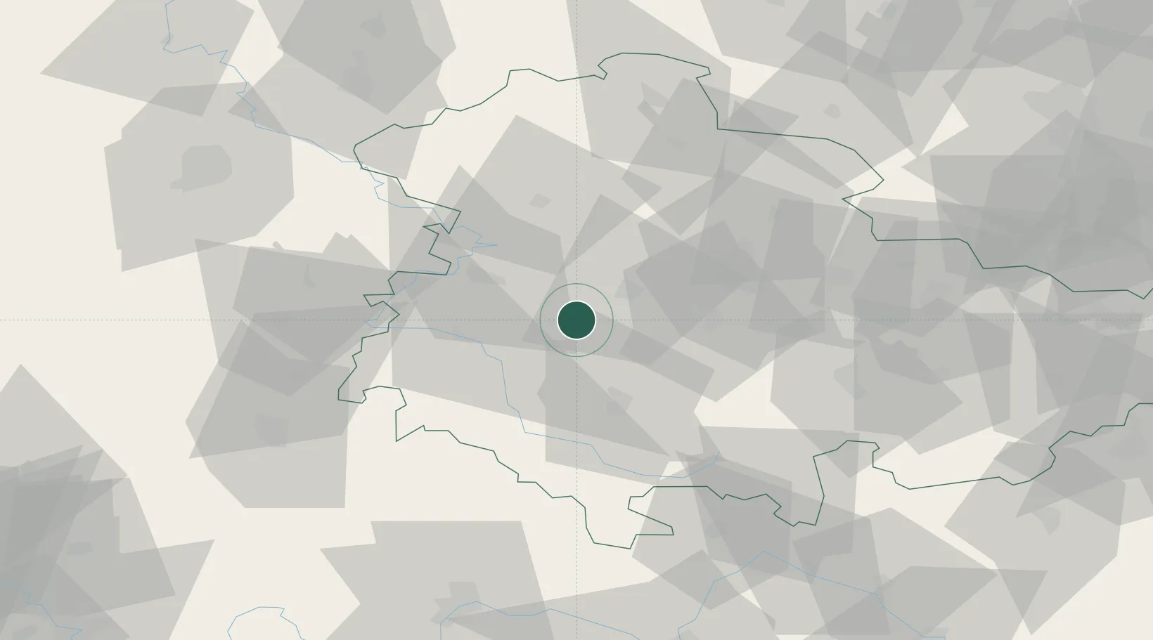
Populated place
Region
Thuringia
Population
7,164
Time zone
Europe/Berlin
Elevation
428 m
Location
Nearby Logistics Neighbours
Cities
- 1Waltershausen4 km
- 2Leina5 km
- 3Leinatal6 km
- 4Tambach-Dietharz8 km
- 5Georgenthal9 km
Airports
- 1Eisenach-Kindel Airport15 km
- 2Erfurt-Weimar Airport30 km
- 3Fritzlar Army Airfield94 km
- 4Kassel Airport102 km
- 5Bamberg-Breitenau Airfield108 km
Trade Zones
DatabookThe Record of Consolidated Knowledge
Germany beyond logistics?