UN/LOCODE hub · Germany
DEFHH

Floh-Seligenthal

50.7500°, 10.4833°
1
Transport functions

Transport Functions

Multimodal
UN/LOCODE

Hub Profile

Region
TH
GeoNames

Location

Location of DEFHH
Natural Earth 10m (public domain) · TH · DEFHH · 50.75, 10.48GoogleOSMYandex

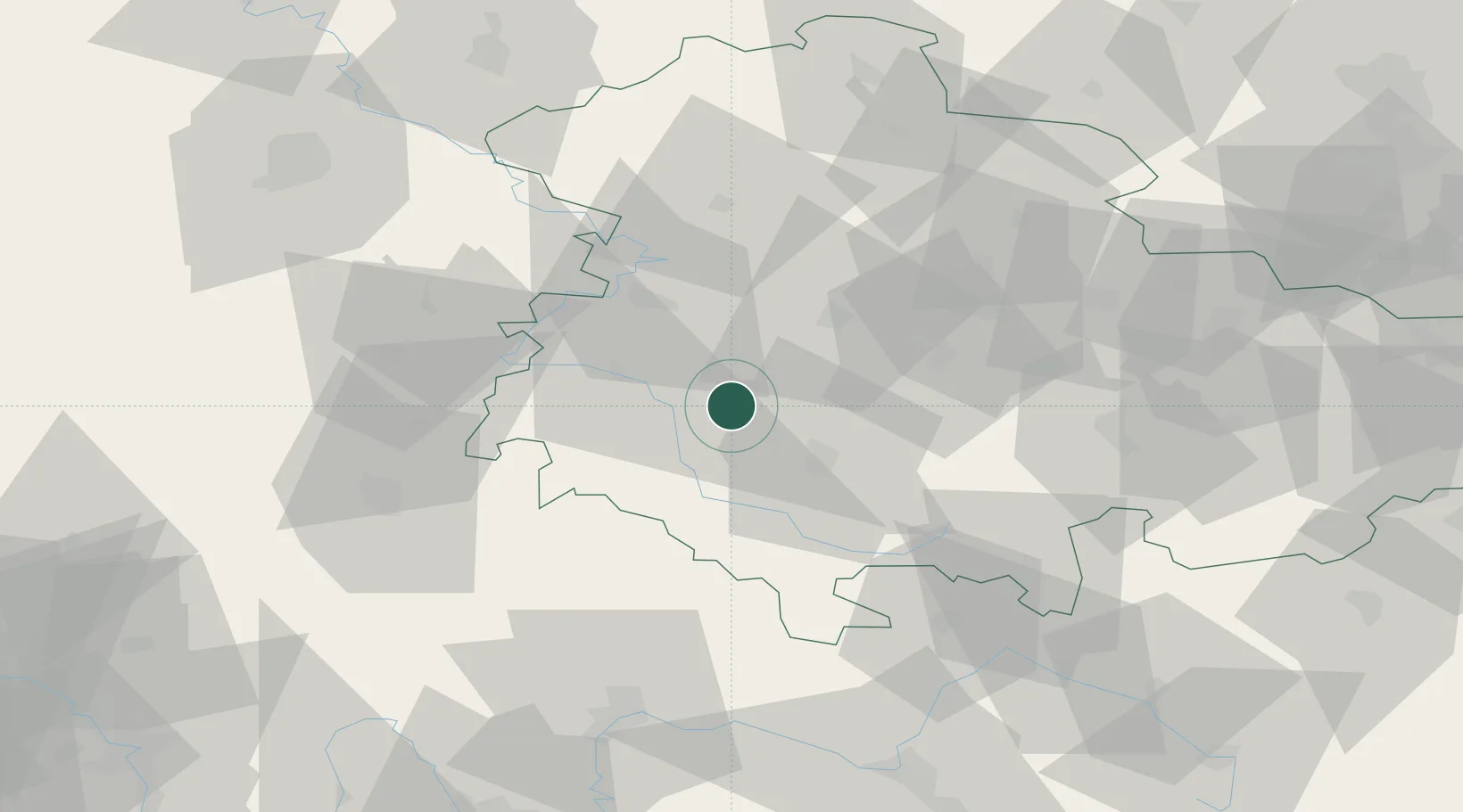
Nearby Logistics Neighbours

Cities
  1. 1Schmalkalden4 km
  2. 2Steinbach-Hallenberg8 km
  3. 3Brotterode8 km
  4. 4Niederschmalkalden9 km
  5. 5Wernshausen10 km
Nearest neighbours — logibook spatial index (haversine) over the source coordinates
Ports
  1. 1Bremen290 km
  2. 2Oldenburg306 km
  3. 3Elsfleth309 km
  4. 4Hamburg314 km
  5. 5Brake318 km
Nearest neighbours — logibook spatial index (haversine) over the source coordinates
Airports
  1. 1Eisenach-Kindel Airport27 km
  2. 2Erfurt-Weimar Airport42 km
  3. 3Fritzlar Army Airfield93 km
  4. 4Bamberg-Breitenau Airfield97 km
  5. 5Kassel Airport107 km
Nearest neighbours — logibook spatial index (haversine) over the source coordinates
Trade Zones
  1. 1Podbořany Industrial Zone215 km
  2. 2Žatec - Triangle Strategic Industrial Zone218 km
  3. 3Most - Joseph Industrial Zone225 km
  4. 4Freeport of Deggendorf274 km
  5. 5Freeport of Duisburg283 km
Nearest neighbours — logibook spatial index (haversine) over the source coordinates
DatabookThe Record of Consolidated Knowledge
Germany beyond logistics?
Browse databook

All Sources

LocationsUN/LOCODE
UN/LOCODE — free
Portsthe NGA World Port Index
Public domain (US gov)
AirportsOurAirports
Public domain
Trade Zonesthe World Bank SEZ database
CC BY 4.0
Trade ZonesOpen Zone Map
CC BY
← Germany locations