Transport Functions
Road
Multimodal
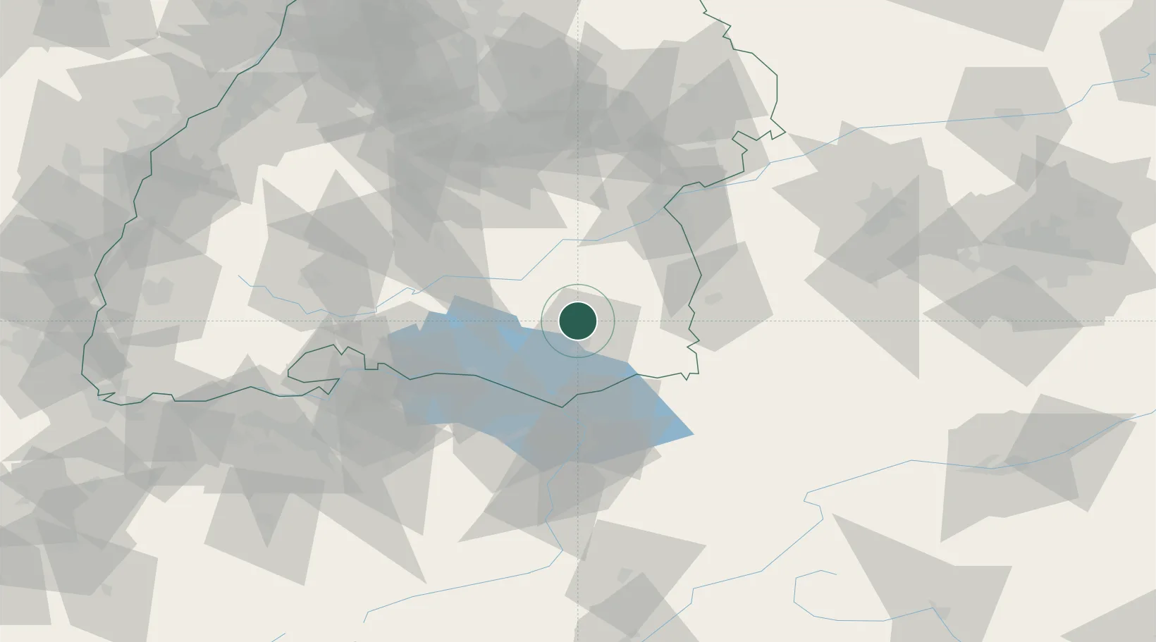
Hub Profile
Place type
Local administrative seat
Region
Baden-Wurttemberg
Population
4,128
Time zone
Europe/Berlin
Elevation
574 m
Location
Nearby Logistics Neighbours
Cities
- 1Baindt8 km
- 2Bad Waldsee10 km
- 3Berg (Ravensburg)15 km
- 4Schlier15 km
- 5Bad Saulgau16 km
Ports
- 1Porto Di Lido-Venezia350 km
- 2Nogaro360 km
- 3Porto Di Chioggia361 km
- 4Grado372 km
- 5Monfalcone381 km
Airports
Trade Zones
- 1ZFU Neuhof155 km
- 2Livigno Free Trade Zone156 km
- 3ZFU Hautepierre162 km
- 4ZFU Mulhouse171 km
- 5ZFU Belfort212 km
DatabookThe Record of Consolidated Knowledge
Germany beyond logistics?