Transport Functions
Port
Rail
Road
Hub Profile
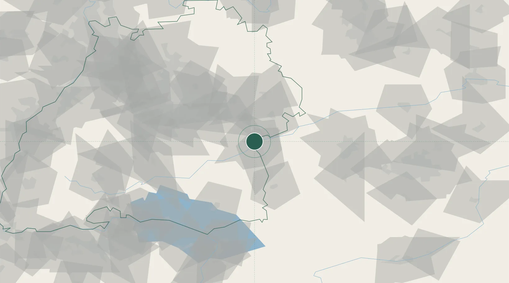
Place type
District seat
Region
Baden-Wurttemberg
Population
120,451
Time zone
Europe/Berlin
Elevation
480 m
Logistics facilities
4
Location
Nearby Logistics Neighbours
Cities
- 1Neu Ulm5 km
- 2Burlafingen5 km
- 3Blaustein7 km
- 4Beimerstetten7 km
- 5Unterelchingen9 km
Ports
- 1Nogaro381 km
- 2Porto Di Lido-Venezia382 km
- 3Grado393 km
- 4Porto Di Chioggia396 km
- 5Monfalcone398 km
Airports
- 1Laupheim Air Base24 km
- 2Memmingen Allgau Airport52 km
- 3Mengen-Hohentengen Airfield62 km
- 4Stuttgart Airport65 km
- 5Augsburg Airport69 km
Trade Zones
- 1ZFU Neuhof166 km
- 2ZFU Hautepierre171 km
- 3Livigno Free Trade Zone211 km
- 4ZFU Mulhouse212 km
- 5Freeport of Deggendorf218 km
DatabookThe Record of Consolidated Knowledge
Germany beyond logistics?