Transport Functions
Rail
Road
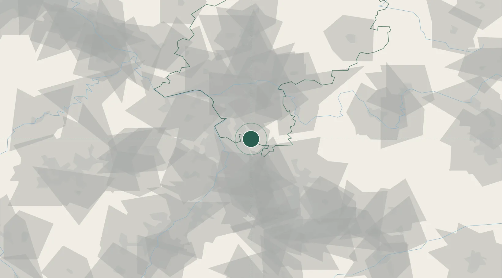
Hub Profile
Place type
Local administrative seat
Region
Hesse
Population
10,318
Time zone
Europe/Berlin
Elevation
150 m
Location
Nearby Logistics Neighbours
Cities
- 1Ober-Abtsteinach6 km
- 2Hemsbach6 km
- 3Hirschberg9 km
- 4Heppenheim10 km
- 5Fürth10 km
Airports
- 1Mannheim-City Airport18 km
- 2Frankfurt-Egelsbach Airport44 km
- 3Frankfurt Main Airport52 km
- 4Mainz-Finthen Airfield61 km
- 5Wiesbaden Army Airfield61 km
Trade Zones
- 1ZFU Hautepierre131 km
- 2ZFU Neuhof134 km
- 3ZFU La Cité Behren-lès-Forbach137 km
- 4Luxembourg Free Port180 km
- 5ZFU Woippy-Metz192 km
DatabookThe Record of Consolidated Knowledge
Germany beyond logistics?