Transport Functions
Rail
Road
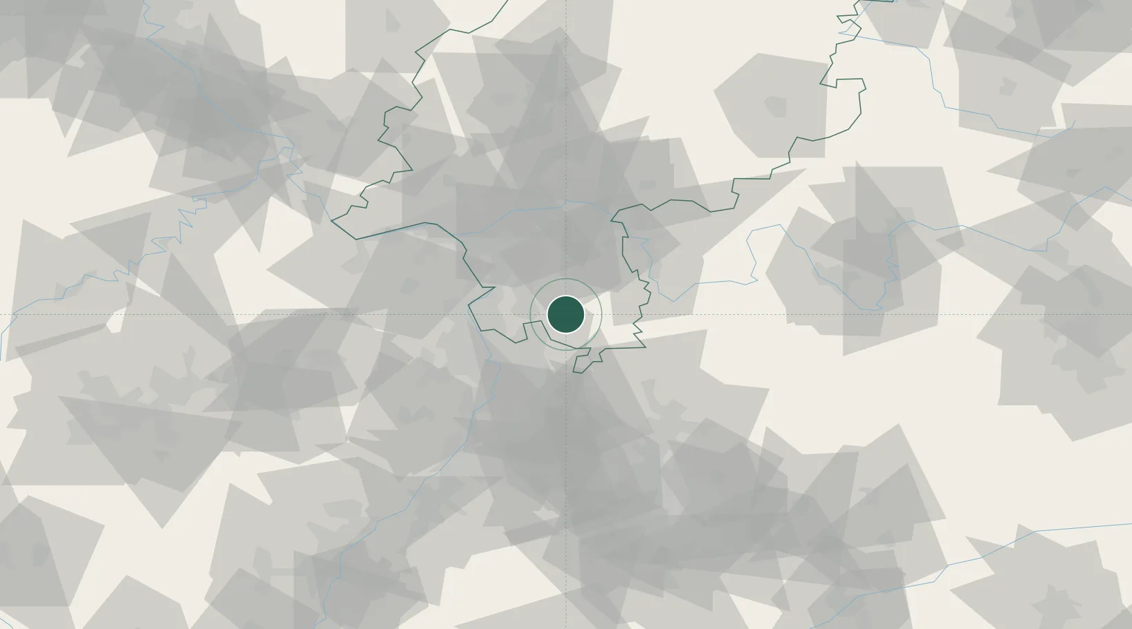
Hub Profile
Place type
Local administrative seat
Region
Hesse
Population
11,181
Time zone
Europe/Berlin
Elevation
198 m
Location
Nearby Logistics Neighbours
Cities
- 1Gras-Ellenbach7 km
- 2Fraenkisch Crumbach10 km
- 3Birkenau10 km
- 4Heppenheim11 km
- 5Lautertal (Odenwald)11 km
Airports
- 1Mannheim-City Airport28 km
- 2Frankfurt-Egelsbach Airport36 km
- 3Frankfurt Main Airport45 km
- 4Wiesbaden Army Airfield55 km
- 5Mainz-Finthen Airfield58 km
Trade Zones
- 1ZFU Hautepierre142 km
- 2ZFU Neuhof144 km
- 3ZFU La Cité Behren-lès-Forbach145 km
- 4Luxembourg Free Port184 km
- 5ZFU Woippy-Metz199 km
DatabookThe Record of Consolidated Knowledge
Germany beyond logistics?