Transport Functions
Rail
Road
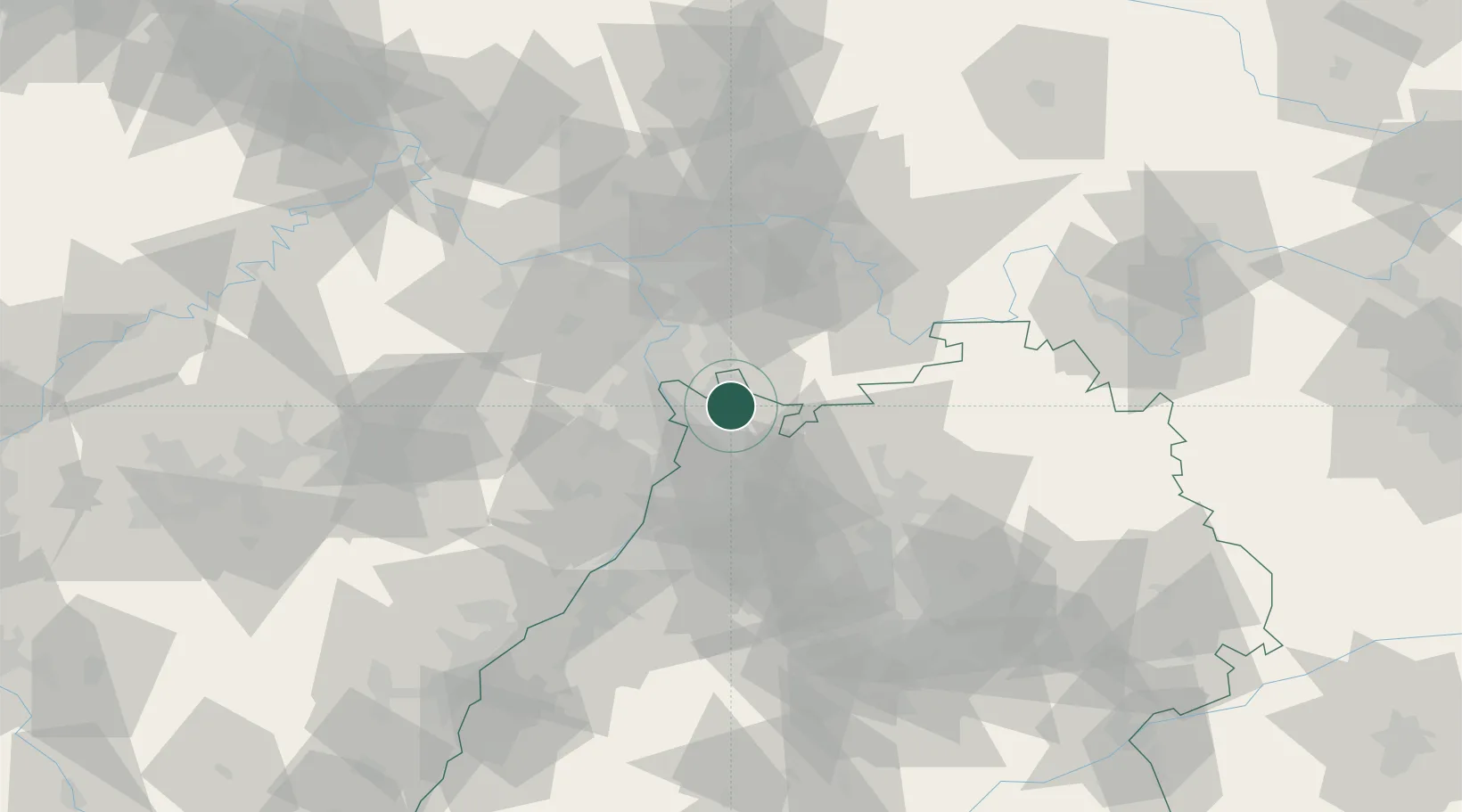
Hub Profile
Place type
Local administrative seat
Region
Rheinland-Pfalz
Population
402
Time zone
Europe/Berlin
Elevation
301 m
Location
Nearby Logistics Neighbours
Cities
- 1Leutershausen2 km
- 2Edingen-Neckarhausen6 km
- 3Viernheim7 km
- 4Edingen8 km
- 5Birkenau9 km
Airports
- 1Mannheim-City Airport10 km
- 2Frankfurt-Egelsbach Airport51 km
- 3Frankfurt Main Airport59 km
- 4Mainz-Finthen Airfield63 km
- 5Wiesbaden Army Airfield65 km
Trade Zones
- 1ZFU Hautepierre123 km
- 2ZFU Neuhof125 km
- 3ZFU La Cité Behren-lès-Forbach130 km
- 4Luxembourg Free Port176 km
- 5ZFU Woippy-Metz185 km
DatabookThe Record of Consolidated Knowledge
Germany beyond logistics?