Transport Functions
Rail
Road
Hub Profile
Region
HE
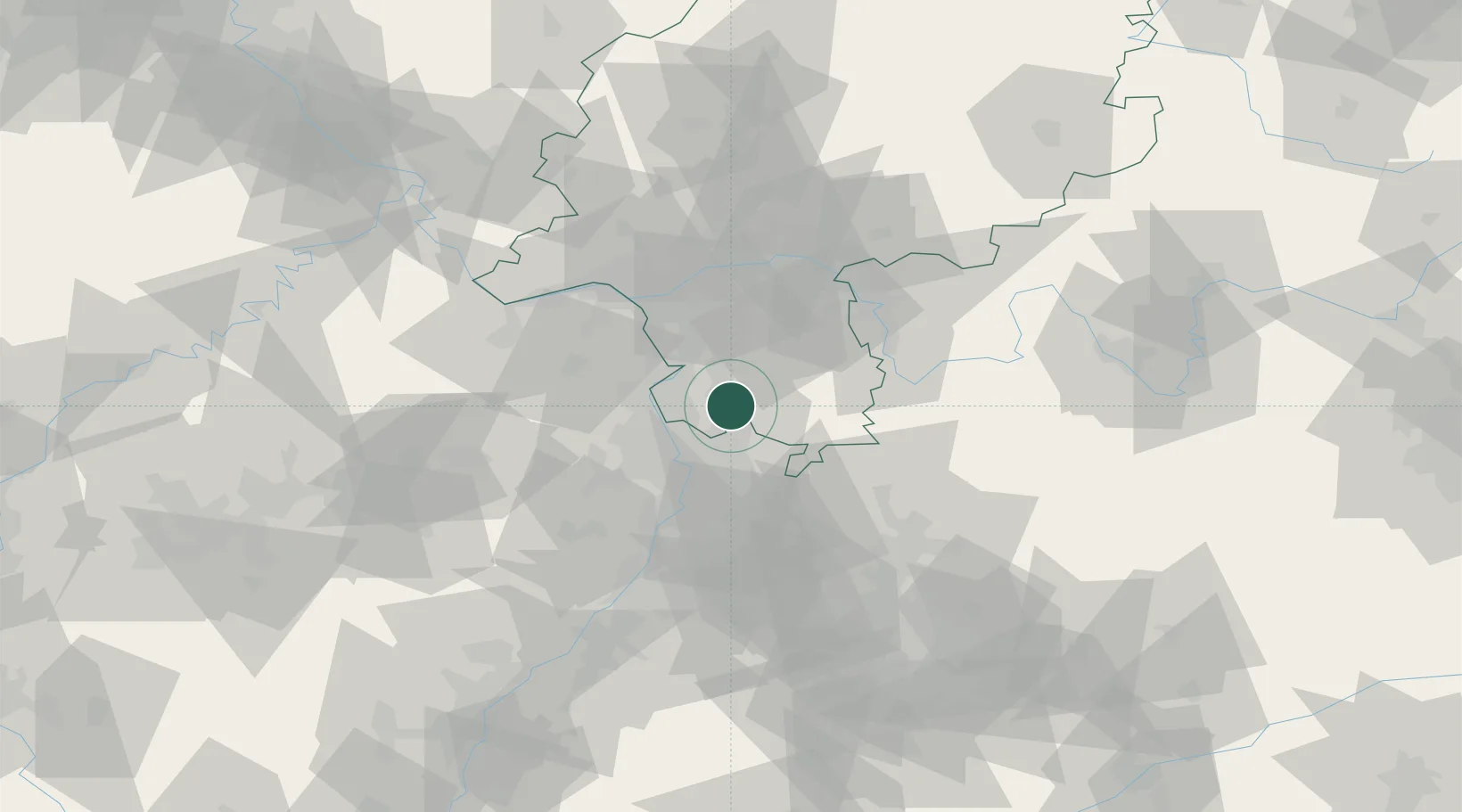
Location
Nearby Logistics Neighbours
Cities
- 1Hemsbach6 km
- 2Birkenau10 km
- 3Fürth11 km
- 4Lautertal (Odenwald)12 km
- 5Viernheim12 km
Airports
- 1Mannheim-City Airport20 km
- 2Frankfurt-Egelsbach Airport36 km
- 3Frankfurt Main Airport44 km
- 4Mainz-Finthen Airfield51 km
- 5Wiesbaden Army Airfield51 km
Trade Zones
- 1ZFU La Cité Behren-lès-Forbach134 km
- 2ZFU Hautepierre134 km
- 3ZFU Neuhof137 km
- 4Luxembourg Free Port174 km
- 5ZFU Woippy-Metz188 km
DatabookThe Record of Consolidated Knowledge
Germany beyond logistics?