Transport Functions
Road
Multimodal
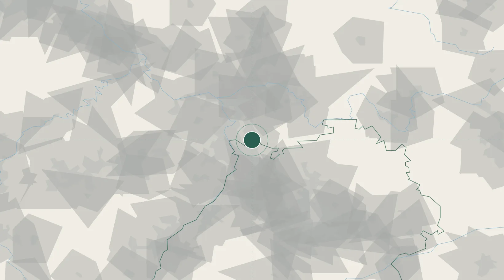
Hub Profile
Place type
Populated place
Region
Baden-Wurttemberg
Population
12,247
Time zone
Europe/Berlin
Elevation
101 m
Location
Nearby Logistics Neighbours
Cities
- 1Heppenheim6 km
- 2Birkenau6 km
- 3Viernheim7 km
- 4Hirschberg9 km
- 5Leutershausen11 km
Airports
- 1Mannheim-City Airport15 km
- 2Frankfurt-Egelsbach Airport42 km
- 3Frankfurt Main Airport50 km
- 4Mainz-Finthen Airfield55 km
- 5Wiesbaden Army Airfield56 km
Trade Zones
- 1ZFU Hautepierre130 km
- 2ZFU La Cité Behren-lès-Forbach132 km
- 3ZFU Neuhof132 km
- 4Luxembourg Free Port174 km
- 5ZFU Woippy-Metz186 km
DatabookThe Record of Consolidated Knowledge
Germany beyond logistics?