Transport Functions
Port
Road
Hub Profile
Place type
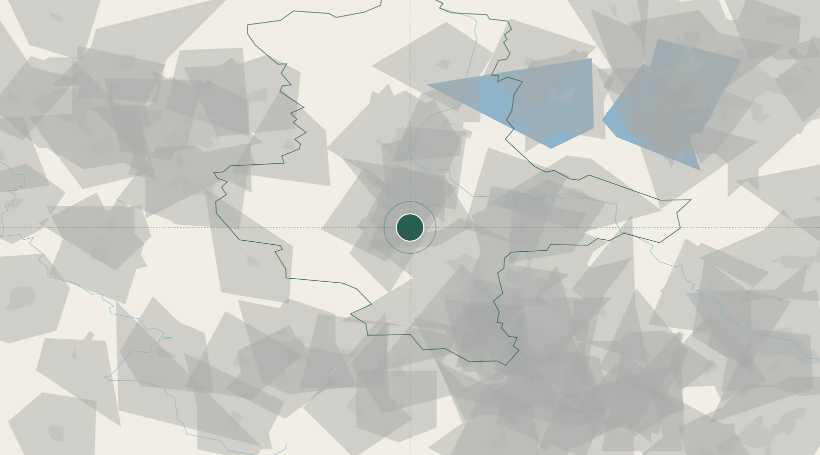
Populated place
Region
Saxony-Anhalt
Population
2,786
Time zone
Europe/Berlin
Elevation
80 m
Location
Nearby Logistics Neighbours
Cities
- 1Bernburg12 km
- 2Grossörner16 km
- 3Nienburg16 km
- 4Polleben16 km
- 5Leimbach19 km
Ports
- 1Hamburg237 km
- 2Wismar245 km
- 3Lubeck251 km
- 4Bremen253 km
- 5Lubeck-Travemunde258 km
Airports
- 1Zerbst Airfield47 km
- 2Leipzig/Halle Airport50 km
- 3Erfurt-Weimar Airport94 km
- 4Leipzig–Altenburg Airport99 km
- 5Braunschweig-Wolfsburg Airport103 km
Trade Zones
DatabookThe Record of Consolidated Knowledge
Germany beyond logistics?