Transport Functions
Rail
Road
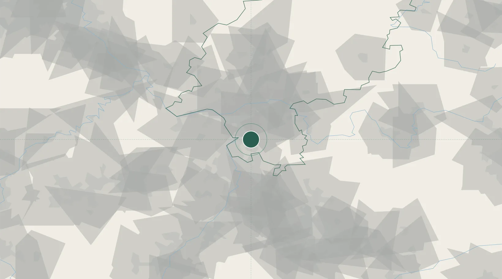
Hub Profile
Place type
Local administrative seat
Region
Hesse
Population
5,338
Time zone
Europe/Berlin
Elevation
124 m
Location
Nearby Logistics Neighbours
Cities
- 1Lautertal (Odenwald)7 km
- 2Gernsheim9 km
- 3Riedstadt12 km
- 4Ober Ramstadt12 km
- 5Heppenheim13 km
Airports
- 1Frankfurt-Egelsbach Airport24 km
- 2Frankfurt Main Airport31 km
- 3Mannheim-City Airport31 km
- 4Wiesbaden Army Airfield39 km
- 5Mainz-Finthen Airfield41 km
Trade Zones
- 1ZFU La Cité Behren-lès-Forbach137 km
- 2ZFU Hautepierre144 km
- 3ZFU Neuhof148 km
- 4Luxembourg Free Port172 km
- 5ZFU Woippy-Metz189 km
DatabookThe Record of Consolidated Knowledge
Germany beyond logistics?