Transport Functions
Rail
Road
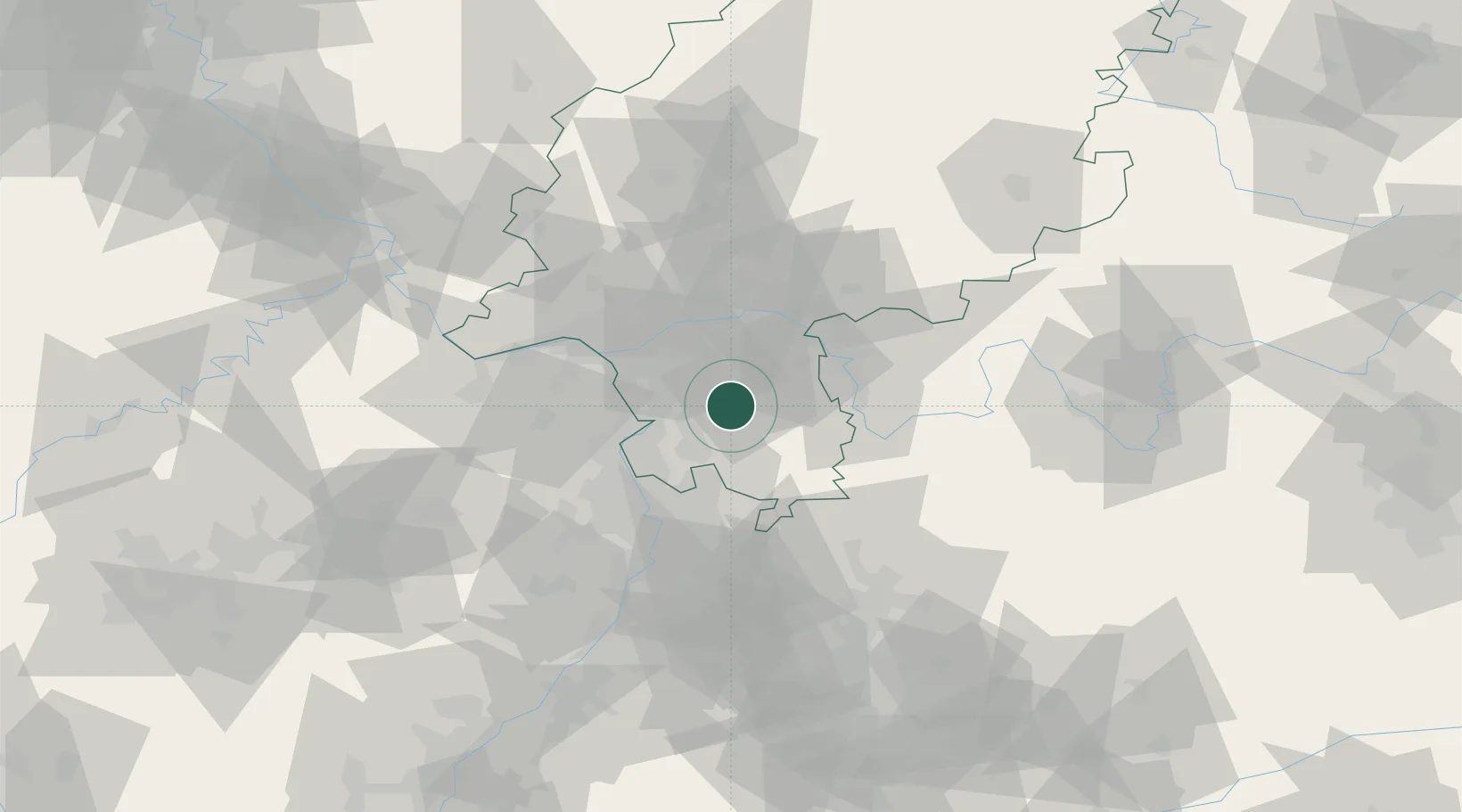
Hub Profile
Place type
Populated place
Region
Hesse
Population
15,367
Time zone
Europe/Berlin
Elevation
214 m
Location
Nearby Logistics Neighbours
Cities
- 1Rossdorf4 km
- 2Fischbachtal7 km
- 3Gross-Zimmern9 km
- 4Lautertal (Odenwald)10 km
- 5Otzberg11 km
Airports
- 1Frankfurt-Egelsbach Airport17 km
- 2Frankfurt Main Airport27 km
- 3Wiesbaden Army Airfield39 km
- 4Mannheim-City Airport41 km
- 5Mainz-Finthen Airfield45 km
Trade Zones
- 1ZFU La Cité Behren-lès-Forbach149 km
- 2ZFU Hautepierre156 km
- 3ZFU Neuhof159 km
- 4Luxembourg Free Port182 km
- 5ZFU Woippy-Metz201 km
DatabookThe Record of Consolidated Knowledge
Germany beyond logistics?