Transport Functions
Multimodal
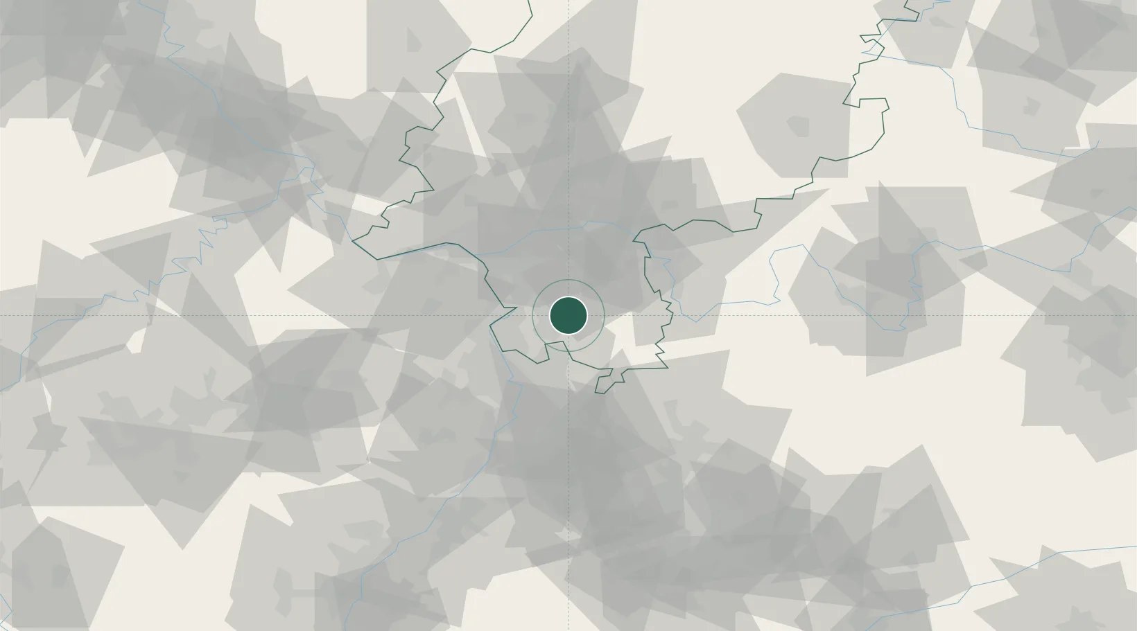
Hub Profile
Region
HE
Location
Nearby Logistics Neighbours
Cities
- 1Fischbachtal7 km
- 2Bickenbach7 km
- 3Ober Ramstadt10 km
- 4Fraenkisch Crumbach11 km
- 5Fürth11 km
Airports
- 1Frankfurt-Egelsbach Airport26 km
- 2Mannheim-City Airport32 km
- 3Frankfurt Main Airport34 km
- 4Wiesbaden Army Airfield44 km
- 5Mainz-Finthen Airfield47 km
Trade Zones
- 1ZFU La Cité Behren-lès-Forbach143 km
- 2ZFU Hautepierre146 km
- 3ZFU Neuhof149 km
- 4Luxembourg Free Port179 km
- 5ZFU Woippy-Metz196 km
DatabookThe Record of Consolidated Knowledge
Germany beyond logistics?