Transport Functions
Port
Rail
Road
Hub Profile
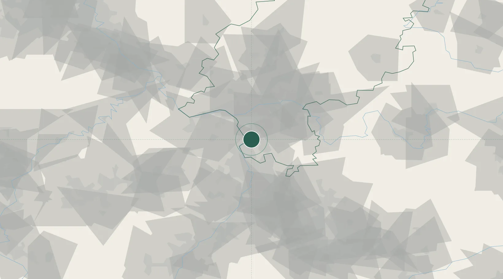
Place type
Populated place
Region
Hesse
Population
10,640
Time zone
Europe/Berlin
Elevation
93 m
Logistics facilities
1
Location
Nearby Logistics Neighbours
Cities
- 1Eich8 km
- 2Bickenbach9 km
- 3Riedstadt9 km
- 4Alsheim11 km
- 5Guntersblum11 km
Airports
- 1Frankfurt-Egelsbach Airport25 km
- 2Frankfurt Main Airport31 km
- 3Mannheim-City Airport32 km
- 4Mainz-Finthen Airfield34 km
- 5Wiesbaden Army Airfield34 km
Trade Zones
- 1ZFU La Cité Behren-lès-Forbach130 km
- 2ZFU Hautepierre141 km
- 3ZFU Neuhof145 km
- 4Luxembourg Free Port163 km
- 5ZFU Woippy-Metz182 km
DatabookThe Record of Consolidated Knowledge
Germany beyond logistics?