Transport Functions
Port
Rail
Road
Hub Profile
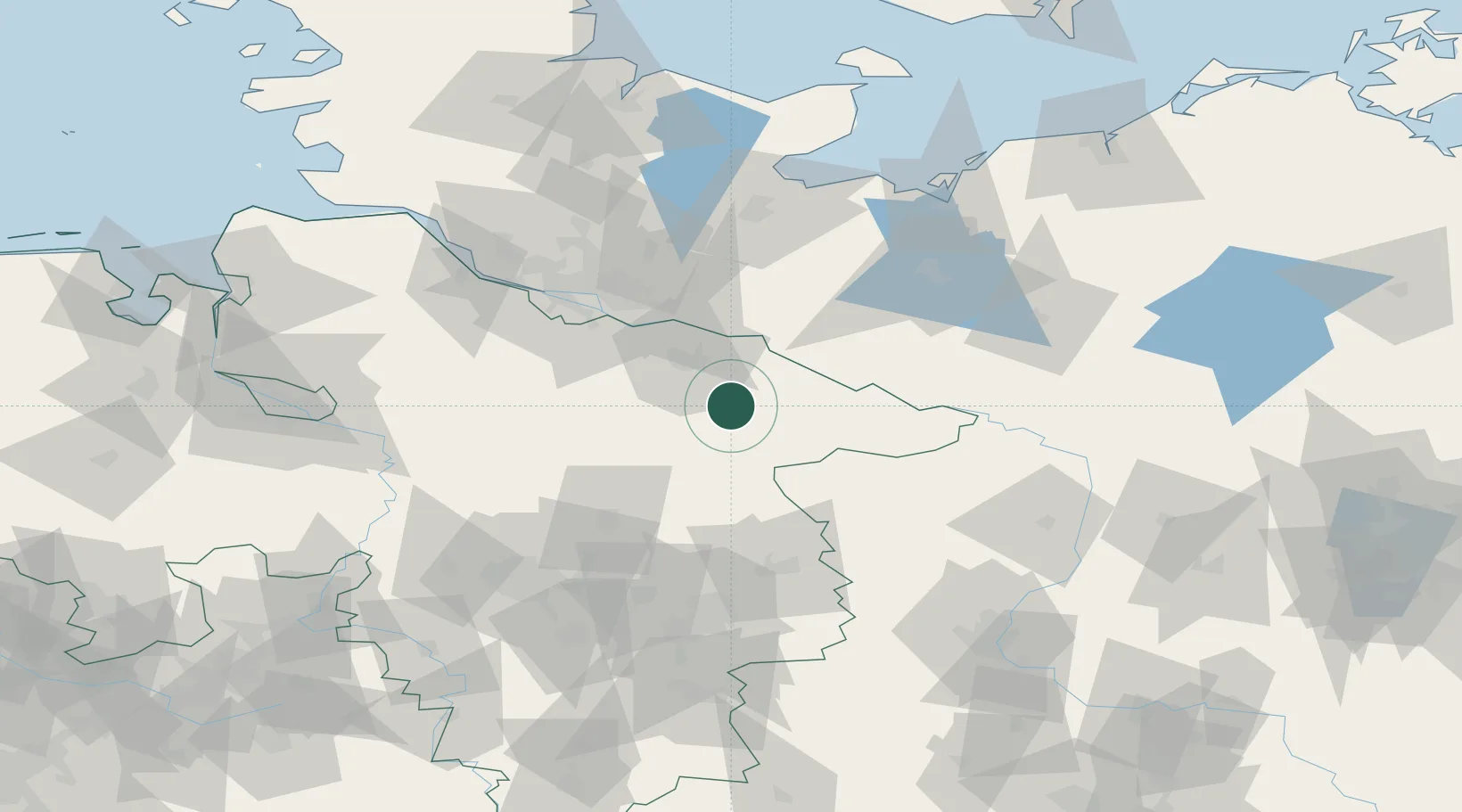
Place type
Populated place
Region
Lower Saxony
Population
8,700
Time zone
Europe/Berlin
Elevation
34 m
Location
Nearby Logistics Neighbours
Cities
- 1Uelzen13 km
- 2Volkstorf15 km
- 3Bohlsen15 km
- 4Rosche16 km
- 5Deutsch Evern16 km
Ports
- 1Hamburg68 km
- 2Lubeck89 km
- 3Butzfleth95 km
- 4Lubeck-Travemunde100 km
- 5Wismar108 km
Airports
- 1Faßberg Air Base32 km
- 2Celle Army Airfield67 km
- 3Hamburg-Finkenwerder Airport71 km
- 4Hamburg Helmut Schmidt Airport73 km
- 5Lübeck Blankensee Airport81 km
Trade Zones
DatabookThe Record of Consolidated Knowledge
Germany beyond logistics?