Transport Functions
Multimodal
Hub Profile
Place type
Local administrative seat
Region
Lower Saxony
Population
2,157
Time zone
Europe/Berlin
Elevation
61 m
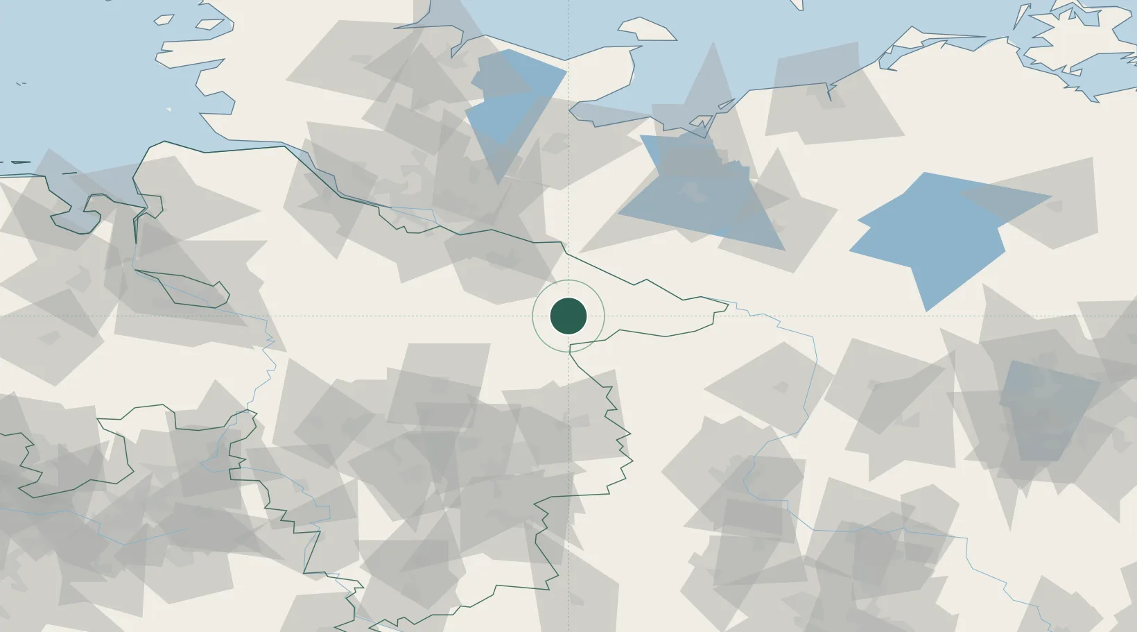
Location
Nearby Logistics Neighbours
Cities
- 1Suhlendorf6 km
- 2Uelzen14 km
- 3Wrestedt15 km
- 4Bad Bevensen16 km
- 5Bodenteich16 km
Ports
- 1Hamburg83 km
- 2Lubeck100 km
- 3Lubeck-Travemunde110 km
- 4Butzfleth111 km
- 5Wismar112 km
Airports
Trade Zones
DatabookThe Record of Consolidated Knowledge
Germany beyond logistics?