Transport Functions
Rail
Road
Hub Profile
Place type
Local administrative seat
Region
Lower Saxony
Population
3,727
Time zone
Europe/Berlin
Elevation
26 m
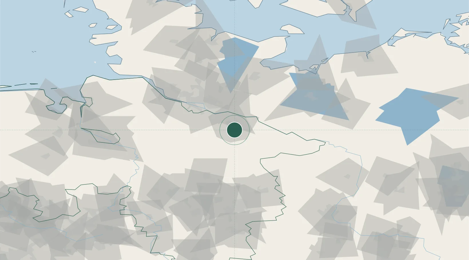
Location
Nearby Logistics Neighbours
Cities
- 1Lüneburg6 km
- 2Volkstorf8 km
- 3Rullstorf11 km
- 4Bardowick12 km
- 5Mechtersen12 km
Ports
- 1Hamburg51 km
- 2Lubeck78 km
- 3Butzfleth79 km
- 4Lubeck-Travemunde90 km
- 5Gluckstadt93 km
Airports
Trade Zones
DatabookThe Record of Consolidated Knowledge
Germany beyond logistics?